Cochran in Bleckley County, Georgia — The American South (South Atlantic)
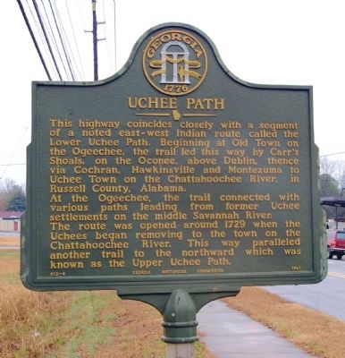
Uchee Path
At the Ogeechee, the trail connected with various paths leading from former Uchee settlements on the middle Savannah River.
The route was opened around 1729 when the Uchees began removing to the town on the Chattahoochee River. This way paralleled another trail to the northward which was known as the Upper Uchee Path.
Erected 1961 by Georgia Historical Commission. (Marker Number 012-4.)
Topics and series. This historical marker is listed in these topic lists: Native Americans • Roads & Vehicles. In addition, it is included in the Georgia Historical Society series list. A significant historical year for this entry is 1729.
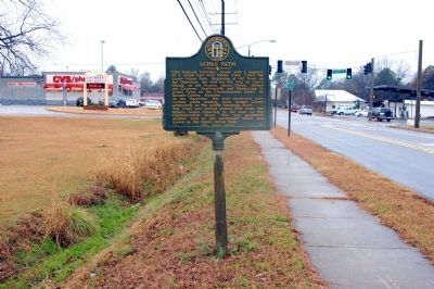
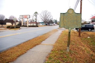
Location. 32° 23.561′ N, 83° 20.846′ W. Marker is in Cochran, Georgia, in Bleckley County. Marker is on Dykes Street SE (Georgia Route 26) north of 8th Street SE, on the right when traveling north. Touch for map. Marker is in this post office area: Cochran GA 31014, United States of America. Touch for directions.
Other nearby markers. At least 8 other markers are within walking distance of this marker. In Memory of Perry L. Johnson (approx. 0.6 miles away); City of Cochran (approx. 0.6 miles away); Cochran Confederate Memorial (approx. 0.6 miles away); Lucian A. Whipple (approx. 0.6 miles away); Sgt. John F. Conner, Sr. (approx. 0.6 miles away); Dedicated to the Memory of James (Jim) Earnest Cook (approx. 0.6 miles away); Cornerstone of Education in Cochran (approx. 0.6 miles away); Bleckley County (approx. 0.6 miles away). Touch for a list and map of all markers in Cochran.
Credits. This page was last revised on June 16, 2016. It was originally submitted on February 13, 2011, by David Seibert of Sandy Springs, Georgia. This page has been viewed 1,109 times since then and 31 times this year. Photos: 1, 2, 3. submitted on February 13, 2011, by David Seibert of Sandy Springs, Georgia. • Bernard Fisher was the editor who published this page.


