Bryce Canyon National Park in Garfield County, Utah — The American Mountains (Southwest)
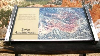
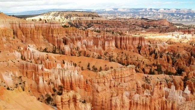
Bryce Amphitheater
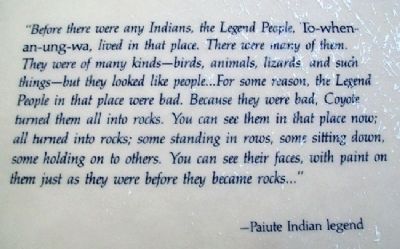
"Before there were any Indians, the Legend People, To-when-an-ung-wa, lived in that place. There were many of them. They were of many kinds - birds, animals, lizards and such things - but they looked like people....For some reason, the Legend People in that place were bad. Because they were bad, Coyote turned them all into rocks. You can see them in that place now; all turned into rocks; some standing in rows, some sitting down, some holding on to others. You can see their faces, with paint on them just as they were before they became rock..."
- Paiute Indian Legend
Erected by National Park Service.
Topics. This historical marker is listed in these topic lists: Environment • Native Americans.
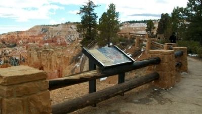
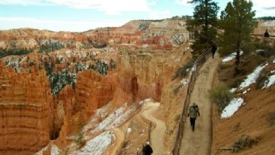
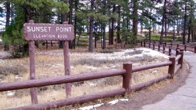
Location. 37° 37.371′ N, 112° 9.968′ W. Marker is in Bryce Canyon National Park, Utah, in Garfield County. Marker is along the Rim Trail, near Sunset Point. Touch for map. Marker is in this post office area: Bryce UT 84764, United States of America. Touch for directions.
Other nearby markers. At least 8 other markers are within 7 miles of this marker, measured as the crow flies. Streetscape (approx. ¼ mile away); Bryce Canyon Lodge (approx. 0.3 miles away); Post-War Service Station (approx. 0.4 miles away); Wheeling through the Years (approx. 0.4 miles away); Stephen Tyng Mather (approx. 1.2 miles away); Tropic Pioneers (approx. 4.4 miles away); Bryce Airport (approx. 5.1 miles away); Loseeville (approx. 6½ miles away). Touch for a list and map of all markers in Bryce Canyon National Park.
Also see . . .
1. Bryce Canyon National Park. (Submitted on February 26, 2011, by William Fischer, Jr. of Scranton, Pennsylvania.)
2. Bryce Canyon Natural Features. (Submitted on February 26, 2011, by William Fischer, Jr. of Scranton, Pennsylvania.)
Credits. This page was last revised on August 29, 2020. It was originally submitted on February 26, 2011, by William Fischer, Jr. of Scranton, Pennsylvania. This page has been viewed 769 times since then and 12 times this year. Photos: 1, 2, 3, 4, 5, 6, 7. submitted on February 26, 2011, by William Fischer, Jr. of Scranton, Pennsylvania.
