Montezuma Castle National Monument in Yavapai County, Arizona — The American Mountains (Southwest)
The Community
Photographed by William Fischer, Jr., November 7, 2010
1. The Community Marker
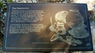
A farming community of perhaps 200 people prospered here for more than three centuries. The Castle was home to 35 or so of these people. Archeologists suggest they may have fled what is today the Flagstaff area due to overpopulation around A.D. 1100. Their name, “Sinagua,” is a variation of the Spanish “sin agua,” which means “without water.”
The excavation of mounds of broken pottery, worn-out tools, animal bones, and other trash at the base of the cliff has enabled archeologists to reconstruct some of the Sinagua’s rich lifeways – all reflections of their intimate relationship with the land.
Erected by National Park Service.
Topics. This historical marker is listed in these topic lists: Anthropology & Archaeology • Forts and Castles • Indigenous Peoples and Communities • Settlements & Settlers.
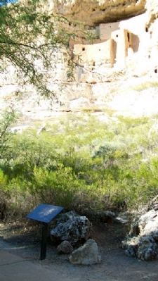
Location. Marker has been reported permanently removed. It was located near 34° 36.713′ N, 111° 50.485′ W. Marker was in Montezuma Castle National Monument, Arizona, in Yavapai County. It could be reached from Montezuma Castle Road. Marker is along the walking
this page online
We have been informed that this marker is no longer there and will not be replaced. This page is an archival view of what was.
Regionally, this marker was in Verde Valley and in the Yavapai-Apache Nation. It was also in the American Southwest and in the Mountain West. Globally, it was in North America, the Western Hemisphere, the Western World, and the Anglosphere. Historically, it found itself in what was once New Spain and also Mexico’s Alta California.

Other nearby markers. At least 8 other markers are within walking distance of this location: Kinship Ties (a few steps from this marker); Creekside Community (a few steps from this marker); Creating a Home (within shouting distance of this marker); Cycles of Care (within shouting distance of this marker); A Piece of Modern Monument History (within shouting distance of this marker); On the Move (within shouting distance of this marker); Aloft but not Alone (within shouting distance of this marker); Timeless Beauty
Photographed by William Fischer, Jr., November 7, 2010
2. The Community Marker
Other markers no longer nearby. Welcome to The Castle (was within shouting distance of this marker but has been permanently removed); The Way Up / Construction Sequence (was within shouting distance of this marker but has been permanently removed).
Also see . . . Montezuma Castle National Monument. (Submitted on March 13, 2011, by William Fischer, Jr. of Reynoldsburg, Ohio.)
Photographed by James Hulse, June 19, 2024
3. The Community Marker
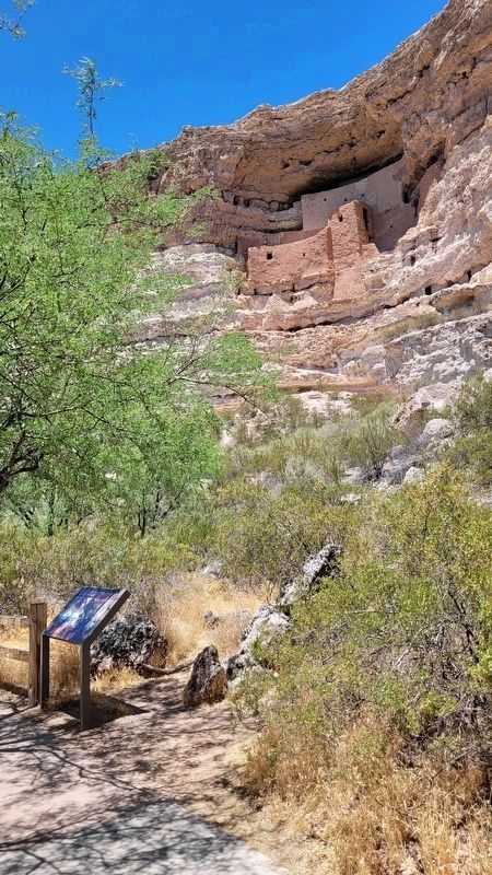
New replacement marker with new text
Credits. This page was last revised on July 18, 2024. It was originally submitted on March 13, 2011, by William Fischer, Jr. of Reynoldsburg, Ohio. This page has been viewed 891 times since then and 19 times this year. Photos: 1, 2. submitted on March 13, 2011, by William Fischer, Jr. of Reynoldsburg, Ohio. 3. submitted on July 18, 2024, by James Hulse of Medina, Texas.
