Downtown in Raleigh in Wake County, North Carolina — The American South (South Atlantic)
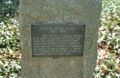
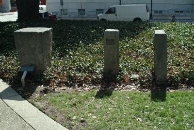
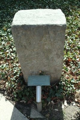
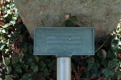
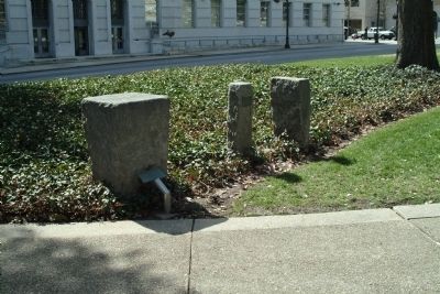
Geodetic Survey Stones
1853 - 1854
Site used by U.S. Coastal and Geodetic Survey to measure the precise longitude and latitude of Raleigh by taking simultaneous readings of the positions of the stars here and at locations in Richmond, Va. and Charleston and Columbia, S.C. A temporary telegraph station was set up here to communicate with other sites.
Erected 1993.
Topics. This historical marker is listed in these topic lists: Notable Places • Science & Medicine.
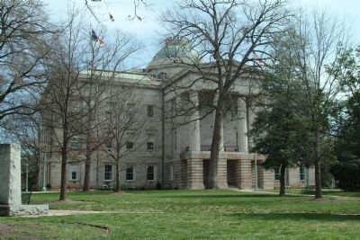
Location. 35° 46.785′ N, 78° 38.303′ W. Marker is in Raleigh, North Carolina, in Wake County. It is in Downtown. Marker is at the intersection of Wilmington Street and Morgan Street on Wilmington Street. The markers are on the grounds of the NC State Capitol. Touch for map. Marker is in this post office area: Raleigh NC 27601, United States of America. Touch for directions.
Other nearby markers. At least 8 other markers are within walking distance of this marker. Andrew Johnson (within shouting distance of this marker); N.C. Pharmaceutical Association (within shouting distance of this marker); Zebulon Baird Vance (within shouting distance of this marker); Charles Duncan Mc Iver (within shouting distance of this marker); Presidents North Carolina Gave The Nation (within shouting distance of this marker); State Capitol (about 300 feet away, measured in a direct line); N.C. State Capitol (about 300 feet away); Experimental Railroad (about 400 feet away). Touch for a list and map of all markers in Raleigh.
Also see . . . National Geodetic Survey, a history. NGS website entry (Submitted on March 13, 2011, by Patrick G. Jordan of Graham, North Carolina.)
Credits. This page was last revised on February 16, 2023. It was originally submitted on March 13, 2011, by Patrick G. Jordan of Graham, North Carolina. This page has been viewed 1,802 times since then and 61 times this year. Photos: 1, 2, 3, 4, 5, 6. submitted on March 13, 2011, by Patrick G. Jordan of Graham, North Carolina. • Bill Pfingsten was the editor who published this page.
