Montezuma Castle National Monument in Yavapai County, Arizona — The American Mountains (Southwest)
The Neighborhood
⎯⎯⎯
Mysterious Departures
Photographed by William Fischer, Jr., November 7, 2010
1. The Neighborhood Marker
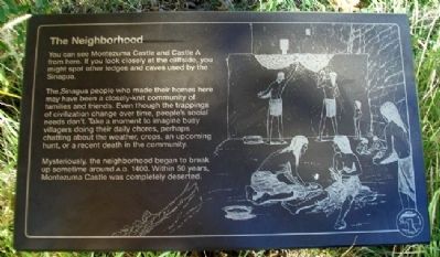
The Neighborhood
You can see Montezuma Castle and Castle A from here. If you look closely at the Cliffside, you might spot other ledges and caves used by the Sinagua.
The Sinagua people who made their homes here may have been a closely-knit community of families and friends. Even though the trappings of civilization change over time, people’s social needs don’t. Take a moment to imagine busy villagers doing their daily chores, perhaps chatting about the weather, crops, an upcoming hunt, or a recent death in the community.
Mysteriously, the neighborhood began to break up sometime around A.D. 1400. Within 50 years, Montezuma Castle was completely deserted.
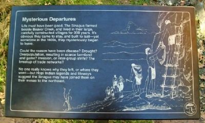
Mysterious Departures
Life must have been good. The Sinagua farmed beside Beaver Creek, and lived in their large, carefully constructed villages for 300 years. It's obvious they came to stay, and built to last - yet sometime in the 1400s, they mysteriously began to leave.
Could the reason have been disease? Drought? Overpopulation, resulting in scarce farmland and game? Invasion, or inter-group strife? The breakup of trade networks?
No one really knows why they left,
this page online
Erected by National Park Service.
Topics. This historical marker is listed in these topic lists: Anthropology & Archaeology • Indigenous Peoples and Communities • Settlements & Settlers. A significant historical year for this entry is 1400.
Location. Marker has been reported permanently removed. It was located near 34° 36.688′ N, 111° 50.543′ W. Marker was in Montezuma Castle National Monument, Arizona, in Yavapai County. It could be reached from Montezuma Castle Road. Marker is along the walking trail leading from the visitor center. Touch for map. Marker was at or near this postal address: Montezuma Castle Road, Camp Verde AZ 86322, United States of America.
We have been informed that this marker is no longer there and will not be replaced. This page is an archival view of what was.
Regionally, this marker was in Verde Valley and in the Yavapai-Apache Nation. It was also in the American Southwest and in the Mountain West. Globally, it was in North America, the Western Hemisphere,

Photographed by William Fischer, Jr., November 7, 2010
2. Mysterious Departures Marker
Other nearby markers. At least 8 other markers are within walking distance of this location: Lifeline / Prehistoric Produce (within shouting distance of this marker); Growing a Livelihood (within shouting distance of this marker); Alcoves and Cavates (within shouting distance of this marker); On the Move (within shouting distance of this marker); a different marker also named People Next Door (within shouting distance of this marker); A Piece of Modern Monument History (within shouting distance of this marker); Aloft but not Alone (within shouting distance of this marker); Cycles of Care (about 300 feet away, measured in a direct line). Touch for a list and map of all markers in Montezuma Castle National Monument.
Other markers no longer nearby. The People Next Door (was within shouting distance of this marker but has been permanently removed); The Way Up / Construction Sequence (was within shouting distance of this marker but has been permanently removed).
Also see . . . Montezuma Castle National Monument.
Photographed by William Fischer, Jr., November 7, 2010
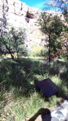
3. The Neighborhood Marker
Montezuma Castle visible in upper distance
Photographed by William Fischer, Jr., November 7, 2010
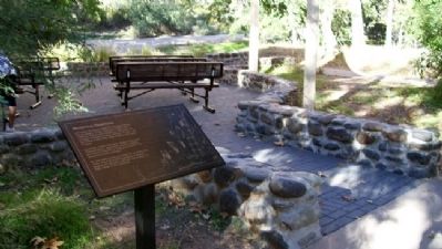
4. Mysterious Departures Marker
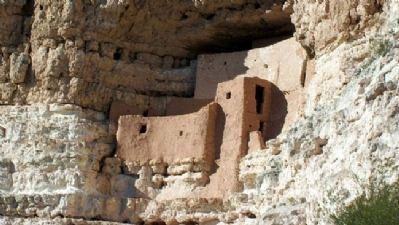
Photographed by William Fischer, Jr., November 7, 2010
5. Montezuma Castle
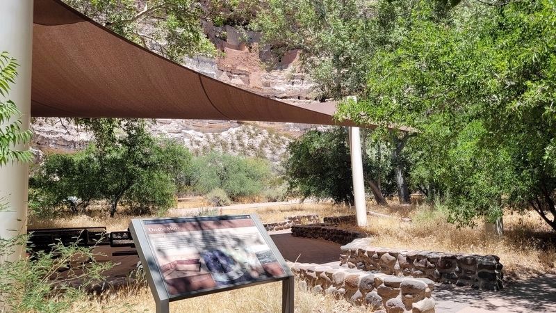
Photographed by James Hulse, June 19, 2024
6. The Neighborhood / Mysterious Departures Marker
New replacement marker with new text
Credits. This page was last revised on July 18, 2024. It was originally submitted on March 13, 2011, by William Fischer, Jr. of Reynoldsburg, Ohio. This page has been viewed 1,071 times since then and 21 times this year. Photos: 1, 2, 3, 4, 5. submitted on March 14, 2011, by William Fischer, Jr. of Reynoldsburg, Ohio. 6. submitted on July 18, 2024, by James Hulse of Medina, Texas.
