Carroll Park in Baltimore, Maryland — The American Northeast (Mid-Atlantic)
Carroll Park
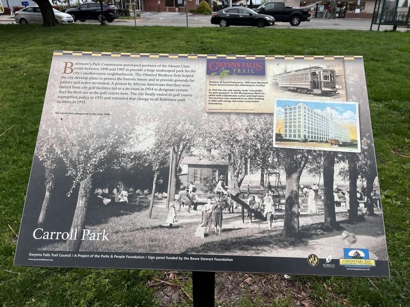
Baltimore’s Park Commission purchased portions of the Mount Clare estate between 1890 and 1907 to provide a large landscaped park for the city’s southwestern neighborhoods. The Olmsted Brothers firm helped the city develop plans to protect the historic house and to provide grounds for passive and active recreation. A protest by African Americans that they were barred from city golf facilities led to a decision in 1934 to designate certain days for their use at the golf course here. The city finally ended its golf course segregation policy in 1951 and extended that change to all Baltimore park facilities in 1955.
[Captions:]
Streetcar at Carroll Park Barns, 1939 (now Maryland Transit Administration Bus Maintenance Facility).
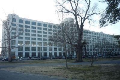
In 1924, the city sold lands "unsuitable for park purposes" to the Montgomery Ward Co. which built a distribution center and retail store. The structure was reopened as an office building in 2002 with energy and water conservation innovations.
Erected by Gwynns Falls Trails.
Topics and series. This historical marker is listed in these topic lists: African Americans • Civil Rights • Notable Buildings • Railroads & Streetcars. In addition, it is included in the Maryland, Gwynns Falls Trail series list. A significant historical year for this entry is 1890.
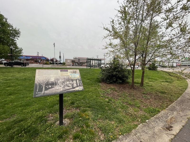
Location. 39° 16.555′ N, 76° 38.525′ W. Marker is in Baltimore, Maryland. It is in Carroll Park. Marker can be reached from the intersection of Washington Boulevard and Monroe Street. Marker is near the intersection but on a park road. Touch for map. Marker is in this post office area: Baltimore MD 21230, United States of America. Touch for directions.
Other nearby markers. At least 8 other markers are within walking distance of this marker. Mount Clare, the Georgia Plantation (approx. 0.2 miles away); Joseph Beuys Tree Partnership (approx. 0.2 miles away); a different marker also named Mount Clare (approx. 0.2 miles away); a different marker also named Mount Clare (approx. ¼ mile away); a different marker also named Mount Clare (approx. ¼ mile away); Camp Carroll (approx. ¼ mile away); 1917 – 1918 (approx. ¼ mile away); Carroll Park at the Historic Pigtown Neighborhood (approx. ¼ mile away). Touch for a list and map of all markers in Baltimore.
Also see . . .
1. Image of the marker from the Gwynns Falls Trail website. (Submitted on March 17, 2008, by Christopher Busta-Peck of Shaker Heights, Ohio.)
2. Montgomery Ward. (Submitted on April 5, 2011, by Richard E. Miller of Oxon Hill, Maryland.)
Additional keywords. urban development
Photographed By Richard E. Miller, February 16, 2011
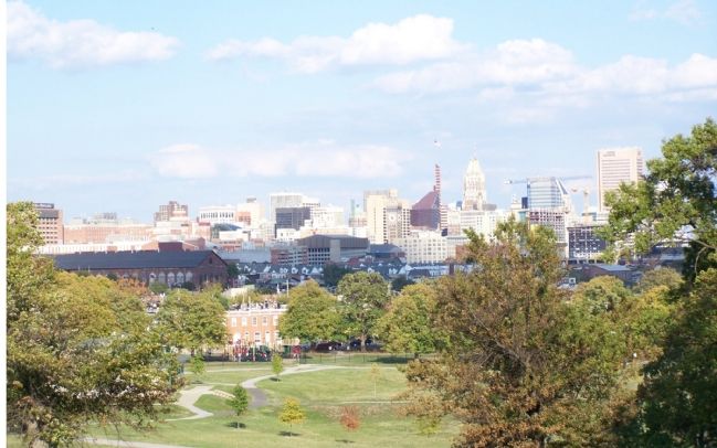
4. The Montgomery Park Center viewed from the marker site.
Credits. This page was last revised on April 8, 2023. It was originally submitted on October 25, 2007, by Bill Pfingsten of Bel Air, Maryland. This page has been viewed 2,867 times since then and 18 times this year. Last updated on April 4, 2011, by Richard E. Miller of Oxon Hill, Maryland. Photos: 1. submitted on April 8, 2023, by Devry Becker Jones of Washington, District of Columbia. 2. submitted on October 25, 2007, by Bill Pfingsten of Bel Air, Maryland. 3. submitted on April 8, 2023, by Devry Becker Jones of Washington, District of Columbia. 4. submitted on April 1, 2011, by Richard E. Miller of Oxon Hill, Maryland. 5. submitted on October 25, 2007, by Bill Pfingsten of Bel Air, Maryland.
