Clinton in Prince George's County, Maryland — The American Northeast (Mid-Atlantic)
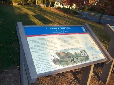
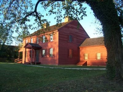
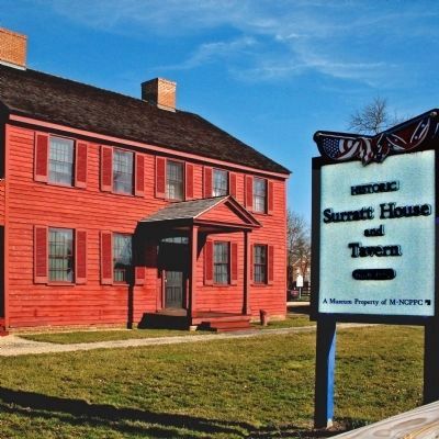
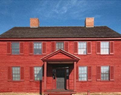
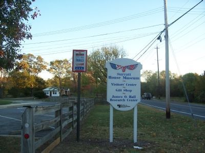
Surratt Tavern
Confederate Safe House
— John Wilkes Booth - Escape of an Assassin —
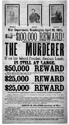
Surratt's son, John, Jr., a Confederate courier, came into contact with actor John Wilkes Booth in 1864. Booth planned to kidnap President Abraham Lincoln, and Surratt was to help convey Lincoln to Richmond. The tavern was to serve as a way-station during the kidnapping. Weapons and supplies were secreted here.
In December, 1864, Surratt's mother, Mary E. Surratt, rented out the tavern and moved to her other home on H Street in Washington. Booth visited there often, and two of his conspirators boarded with her briefly. Eventually, the kidnapping plan turned to assassination, and after Booth shot the president on April 14, 1865, he and accomplice David E. Herold came directly here to retrieve the weapons the conspirators had stashed earlier. They arrived at midnight, then headed south toward the hamlet of T.B.
Mrs. Surratt's tenant here later gave damaging testimony that sent her to the gallows on July 7, 1865 - the first woman executed by the federal government. Her son fled the country but was later returned for trial. The trial resulted in a hung jury.
Erected by Maryland Civil War Trails.
Topics and series. This historical marker is listed in these topic lists: Industry & Commerce • War, US Civil • Women. In addition, it is included in the Booth's Escape, the Former U.S. Presidents: #16 Abraham Lincoln, and the Maryland Civil War Trails series lists. A significant historical month for this entry is April 1903.
Location. This marker has been replaced by another marker nearby. It was located near 38° 45.869′ N, 76° 53.846′ W. Marker was in Clinton, Maryland, in Prince George's County. Marker could be reached from Brandywine Road (Maryland Route 381) 0.1 miles south of Woodyard Road (Maryland Road 223), on the left when traveling south. Touch for map. Marker was at or near this postal address: 9110 Brandywine Road, Clinton MD 20735, United States of America. Touch for directions.
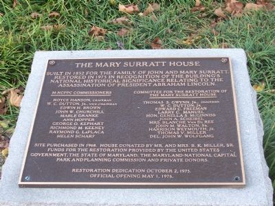
Other nearby markers. At least 8 other markers are within 3 miles of this location, measured as the crow flies. A different marker also named Surratt Tavern (here, next to this marker); John Wilkes Booth (here, next to this marker); a different marker also named John Wilkes Booth (a few steps from this marker); The Mary Surratt House (within shouting distance of this marker); Crucifix (approx. 0.2 miles away); Louise F. Cosca Regional Park (approx. 2.4 miles away); Thrift School (approx. 2.7 miles away); His Lordship’s Kindness (approx. 3 miles away). Touch for a list and map of all markers in Clinton.
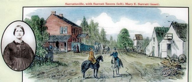
More about this marker. At the lower center of the marker is a drawing of Surrattsville, showing the Surratts Tavern at left. Inset with this image is a portrait of Mary E. Surratt.
On the far right of the marker is a map, showing John Wilkes Booth's escape route after assassinating then President Abraham Lincoln.
Related marker. Click here for another marker that is related to this marker. This marker has been replaced by the linked marker, which has different information on the final paragraph.
Also see . . . Booth's Escape Byway, Maryland Office of Tourism. (Submitted on August 19, 2019.)
Additional keywords. John Wilkes Booth Escape Route
Credits. This page was last revised on August 9, 2020. It was originally submitted on December 14, 2007, by Richard E. Miller of Oxon Hill, Maryland. This page has been viewed 5,042 times since then and 163 times this year. Photos: 1, 2, 3. submitted on December 14, 2007, by Richard E. Miller of Oxon Hill, Maryland. 4, 5, 6. submitted on February 6, 2015, by Allen C. Browne of Silver Spring, Maryland. 7. submitted on December 14, 2007, by Richard E. Miller of Oxon Hill, Maryland. 8. submitted on May 13, 2012, by Richard E. Miller of Oxon Hill, Maryland. • Craig Swain was the editor who published this page.
