Kailua-Kona in Hawaii County, Hawaii — Hawaiian Island Archipelago (Pacific Ocean)
Honokohau Settlement
Photographed by Julie Szabo, December 9, 2007
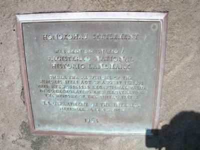
1. Honokohau Settlement Marker
Erected 1964 by U. S. Department of the Interior, National Park Service.
Topics and series. This historical marker is listed in these topic lists: Indigenous Peoples and Communities • Landmarks • Settlements & Settlers • Waterways & Vessels. In addition, it is included in the National Historic Landmarks series list. A significant historical year for this entry is 1935.
Location. 19° 40.197′ N, 156° 1.1′ W. Marker is in Kailua-Kona, Hawaii, in Hawaii County. It is on Kealakehe Parkway, on the right when traveling west. Off Queen Kaahumanu Highway (19) towards Honokohau Marina/Small Boat Harbor. Touch for map. Marker is in this post office area: Kailua Kona HI 96740, United States of America. Touch for directions.

Regionally, this marker is on the Kona Coast and in the Volcanic Hawaii. Globally, it is in North America, in Polynesia, in the Pacific Ocean,
this page online
Other nearby markers. At least 8 other markers are within 3 miles of this marker, measured as the crow flies: Discovering Kaloko-Honokohau (approx. 0.6 miles away); A Sanctuary for Humpback Whales (approx. 0.6 miles away); Ala Mauka Makai (approx. 0.6 miles away); Kamakahonu (approx. 2½ miles away); Kamakahonu / Kailua Pier (approx. 2½ miles away); Ahu'ena Heiau (approx. 2½ miles away); Niumalu Beach / Kailua Bay (approx. 2.6 miles away); Hulihe‘e Palace / Moku‘aikaua Church (approx. 2.6 miles away). Touch for a list and map of all markers in Kailua-Kona.
More about this marker. Statement of Significance (as of designation - December 29, 1962): “Because of its ideal landing places for canoes and its fishponds, the Honokohau coastal area was important to historic as well as ancient Hawaiians. This site includes ancient house sites, temples, fishponds, a toboggan slide, tombs, and scattered petroglyphs.”
Photographed by Adam Margolis, November 21, 2010
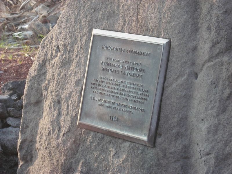
2. Honokohau Settlement Marker
Photographed by Julie Szabo, December 9, 2007
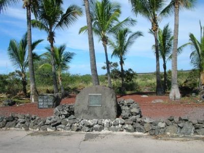
3. Honokohau Settlement Marker
Photographed by Julie Szabo, December 9, 2007
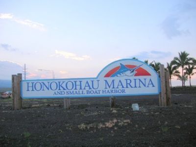
4. Honokohau Settlement Marker
Credits. This page was last revised on February 2, 2026. It was originally submitted on December 16, 2007, by Julie Szabo of Oldsmar, Florida. This page has been viewed 2,458 times since then and 34 times this year. Photos: 1. submitted on December 16, 2007, by Julie Szabo of Oldsmar, Florida. 2. submitted on January 11, 2022, by Adam Margolis of Mission Viejo, California. 3, 4. submitted on December 16, 2007, by Julie Szabo of Oldsmar, Florida. • J. J. Prats was the editor who published this page.
