Elkton in Giles County, Tennessee — The American South (East South Central)
Elkton Bridge
A Strategic Crossing
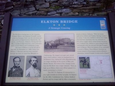
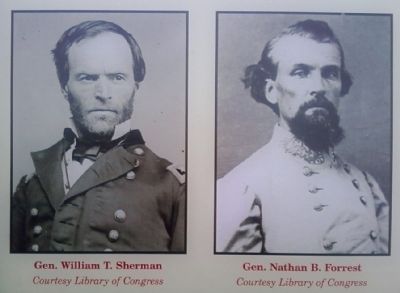
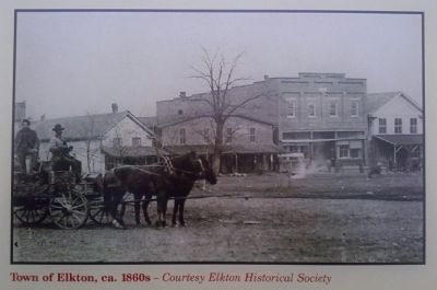
The town of Elkton is up the hill and to your left. On November 6-7, 1863, Union Gen. William T. Sherman and his army marched through the town en route from Memphis to Chattanooga, He stopped overnight and, according to local tradition, made his headquarters in the Reason's Inn, Cabinet & Coffin Manufacturing (no longer standing) at the corner of Main and Market Streets. He wrote to Gen. George Crook that the Elk River was a major obstacle: "Even as high up as Elkton where your officer passed it is nearly swimming to a horse."
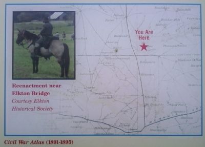
The Old U.S. Highway 31 intersection to your right includes an earlier turnpike. On September 26, 1864, Confederate Gen. Nathan Bedford Forrest and his troops rode by after a successful attack at Athens, Alabama. "With the horses captured at Athens and Sulphur Springs trestle," he wrote, "I was not enabled to mount the troops that had been marching with my command on foot and to supply others whose horses had given out. I ordered Gen. Buford to move along the dirt road parallel with the railroad [through Prospect, west of Elkton]. With the balance of my command I moved to Elkton. From Elkton I directed my course toward a Government corral at Brown's plantation, toward Pulaski [3 miles north of here]."
Erected 2010 by Tennessee Civil War Trails.
Topics and series. This historical marker is listed in these topic lists: Bridges & Viaducts • Roads & Vehicles • War, US Civil. In addition, it is included in the Tennessee Civil War Trails series list. A significant historical month for this entry is September 1822.
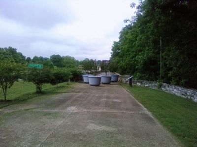
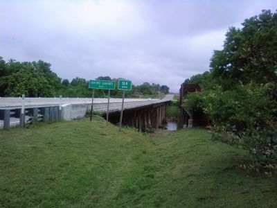
Location. 35° 2.774′ N, 86° 53.244′ W. Marker is in Elkton, Tennessee, in Giles County. Marker is at the intersection of Elkton Pike (U.S. 31) and Dixon Town Road, on the right when traveling north on Elkton Pike. Marker is located at the south end of the old Highway 31 bridge across the Elk River and is marked by a Civil War Trails sign. Touch for map. Marker is at or near this postal address: 110 Dixon Town Road, Elkton TN 38455, United States of America. Touch for directions.
Other nearby markers. At least 8 other markers are within 7 miles of this marker, measured as the crow flies. First Section of Tennessee Interstate (approx. 0.9 miles away); Civil War in Tennessee (approx. 0.9 miles away); Tennessee AMVETS Veterans Memorial (approx. 0.9 miles away); John Calvin Brown (approx. 3.7 miles away); Neill S. Brown
(approx. 3.7 miles away); Pettusville (approx. 5.6 miles away in Alabama); Alabama Korean War Memorial (approx. 6.3 miles away in Alabama); Vietnam Veterans of America (approx. 6.3 miles away in Alabama). Touch for a list and map of all markers in Elkton.
Credits. This page was last revised on June 16, 2016. It was originally submitted on May 16, 2011, by Lee Hattabaugh of Capshaw, Alabama. This page has been viewed 1,888 times since then and 69 times this year. Photos: 1, 2, 3, 4, 5, 6, 7. submitted on May 16, 2011, by Lee Hattabaugh of Capshaw, Alabama. • Craig Swain was the editor who published this page.
