Pocopson Township near West Chester in Chester County, Pennsylvania — The American Northeast (Mid-Atlantic)
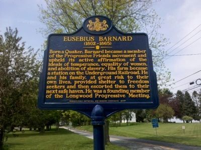
Eusebius Barnard
(1802–1865)
Erected 2011 by Pennsylvania Historical and Museum Commission.
Topics and series. This historical marker is listed in these topic lists: Abolition & Underground RR • Churches & Religion • Civil Rights. In addition, it is included in the Pennsylvania Historical and Museum Commission, and the Quakerism series lists.
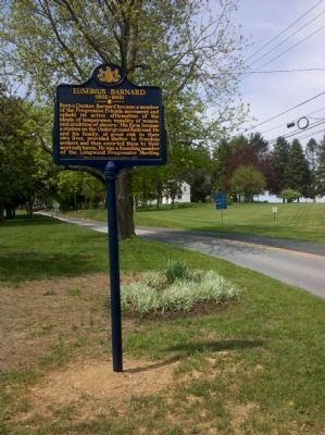
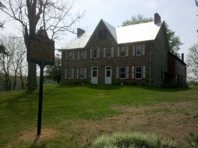
Location. 39° 54.118′ N, 75° 39.637′ W. Marker is near West Chester, Pennsylvania, in Chester County. It is in Pocopson Township. Marker is on South Wawaset Road, 0.2 miles north of Lenape Road (Pennsylvania Route 52), on the left when traveling north. Touch for map. Marker is at or near this postal address: 715 S Wawaset Rd, West Chester PA 19382, United States of America. Touch for directions.
Other nearby markers. At least 8 other markers are within 3 miles of this marker, measured as the crow flies. Locust Grove School (approx. 0.6 miles away); Cabin of Indian Hannah (approx. 2 miles away); Italian Water Garden (approx. 2 miles away); a different marker also named Italian Water Garden (approx. 2 miles away); Peirce's Woods (approx. 2 miles away); a different marker also named Peirce's Woods (approx. 2.1 miles away); Peirce's Park (approx. 2.1 miles away); The Peirce - du Pont House (approx. 2.1 miles away). Touch for a list and map of all markers in West Chester.
Also see . . .
1. New Marker Newspaper Story. (Submitted on May 17, 2011, by Keith S Smith of West Chester, Pennsylvania.)
2. Kennett Underground Railroad Center. (Submitted on May 17, 2011, by Keith S Smith of West Chester, Pennsylvania.)
Credits. This page was last revised on February 7, 2023. It was originally submitted on May 17, 2011, by Keith S Smith of West Chester, Pennsylvania. This page has been viewed 1,264 times since then and 23 times this year. Photos: 1, 2, 3. submitted on May 17, 2011, by Keith S Smith of West Chester, Pennsylvania. • Bernard Fisher was the editor who published this page.


