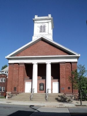
Port Richmond on Staten Island in Richmond County, New York — The American Northeast (Mid-Atlantic)
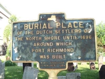
Burial Place
Erected 1932 by New York State Education Department.
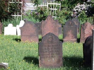
Topics. This historical marker is listed in these topic lists: Cemeteries & Burial Sites • Colonial Era • Settlements & Settlers • Waterways & Vessels. A significant historical year for this entry is 1696.
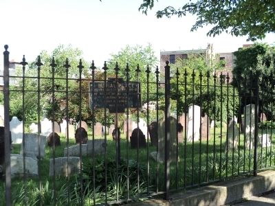
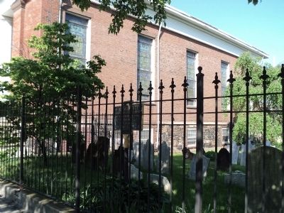
Location. 40° 38.386′ N, 74° 7.931′ W. Marker is on Staten Island, New York, in Richmond County. It is in Port Richmond. Marker is at the intersection of Port Richmond Avenue and Church Street, on the left when traveling north on Port Richmond Avenue. The marker is located in the cemetery on the north side of the Reformed Protestant Dutch Church. Touch for map. Marker is in this post office area: Staten Island NY 10302, United States of America. Touch for directions.
Other nearby markers. At least 8 other markers are within walking distance of this marker. Reformed Protestant Dutch Church (a few steps from this marker); Five Brothers (a few steps from this marker); Founding of the Dutch Church (a few steps from this marker); St. James Hotel (within shouting distance of this marker); Sullivan’s Attack (approx. 0.2 miles away); Faber Park and Pool (approx. 0.2 miles away); George Washington (approx. 0.2 miles away); World War II Memorial (approx. 0.4 miles away in New Jersey). Touch for a list and map of all markers in Staten Island.
Credits. This page was last revised on October 3, 2023. It was originally submitted on May 21, 2011, by Bill Coughlin of Woodland Park, New Jersey. This page has been viewed 860 times since then and 28 times this year. Photos: 1, 2, 3, 4, 5. submitted on May 21, 2011, by Bill Coughlin of Woodland Park, New Jersey.
