Buras in Plaquemines Parish, Louisiana — The American South (West South Central)
Plaquemines Parish
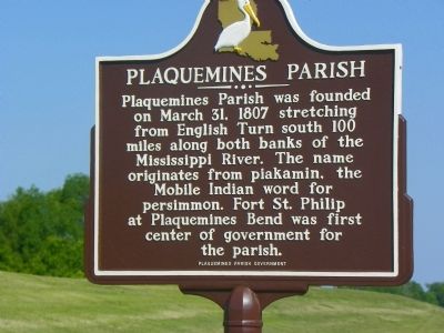
Photographed by Stephen Bell, May 18, 2011
1. Plaquemines Parish Marker
Erected by Plaquemines Parish Government.
Topics. This historical marker is listed in these topic lists: Colonial Era • Settlements & Settlers • Waterways & Vessels. A significant historical month for this entry is March 1787.
Location. 29° 20.858′ N, 89° 27.857′ W. Marker is in Buras, Louisiana, in Plaquemines Parish. It is on Parish Road 11, on the right when traveling south. Located at the new Plaquemines Parish Fort Jackson Museum. Touch for map. Marker is at or near this postal address: 38039 LA-23, Buras LA 70041, United States of America. Touch for directions.

Regionally, this marker is in one of the River Parishes, in Bayou Country and in Greater New Orleans. It is also in the American South, specifically in the Deep South, on the Gulf Coast, and in the Great River Road Region. Globally, it is in North America,
this page online
Other nearby markers. At least 5 other markers are within walking distance of this marker: The 1893 Hurricane (within shouting distance of this marker); Fort Jackson (approx. half a mile away); Eads Jetties (approx. 0.8 miles away); Bayou Mardi Gras (approx. 0.8 miles away); a different marker also named Bayou Mardi Gras (approx. 0.8 miles away).
Additional commentary.
1. Marker moved to Fort Jackson Museum in Buras.
This marker has been moved to the grounds of the nearby Fort Jackson Museum in Buras.
— Submitted March 30, 2022, by Pete Payette of Orange, Virginia.
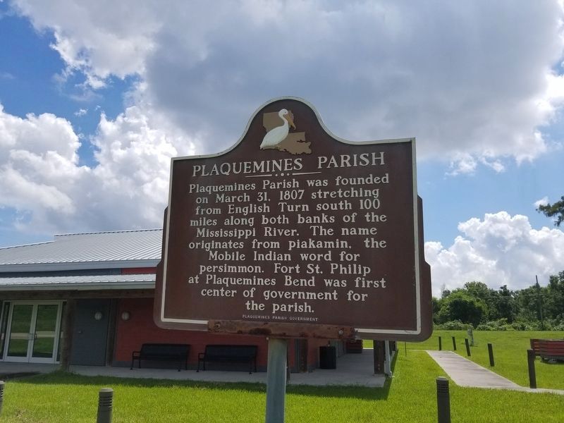
Photographed by Cajun Scrambler, September 2, 2022
2. Plaquemines Parish Marker
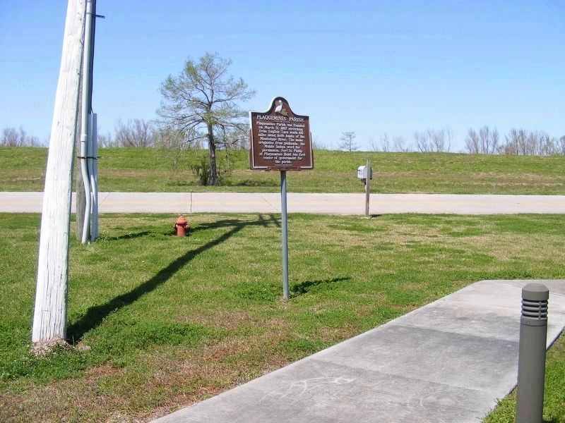
Photographed by Pete Payette, March 26, 2022
3. New location of the Plaquemines Parish Marker
Relocated to the grounds of the Fort Jackson Museum in Buras, some 30 miles SE of former location.
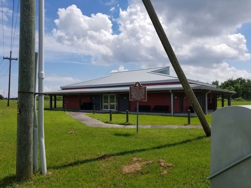
Photographed by Cajun Scrambler, September 2, 2022
4. Plaquemines Parish Marker
Credits. This page was last revised on September 2, 2022. It was originally submitted on May 24, 2011, by Stephen Bell of Biloxi, Mississippi. This page has been viewed 1,360 times since then and 72 times this year. Photos: 1. submitted on May 24, 2011, by Stephen Bell of Biloxi, Mississippi. 2. submitted on September 2, 2022, by Cajun Scrambler of Assumption, Louisiana. 3. submitted on March 30, 2022, by Pete Payette of Orange, Virginia. 4. submitted on September 2, 2022, by Cajun Scrambler of Assumption, Louisiana. • Bill Pfingsten was the editor who published this page.
