Montgomery Township near Mercersburg in Franklin County, Pennsylvania — The American Northeast (Mid-Atlantic)
Burning Of Chambersburg
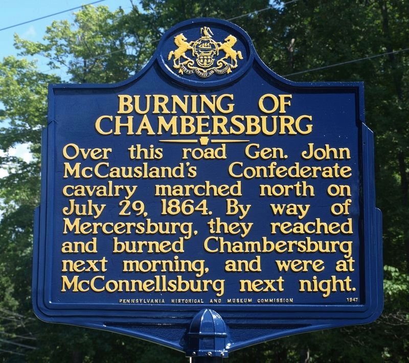
Photographed by Dan Guzy, August 13, 2024
1. Burning Of Chambersburg Marker
Erected 1947 by Pennsylvania Historical And Museum Commission.
Topics and series. This historical marker is listed in this topic list: War, US Civil. In addition, it is included in the Pennsylvania Historical and Museum Commission (PHMC) series list. A significant historical month for this entry is July 1757.
Location. 39° 44.759′ N, 77° 55.589′ W. Marker is near Mercersburg, Pennsylvania, in Franklin County. It is in Montgomery Township. It is at the intersection of Blair Valley Road and Hunter Road, on the left when traveling south on Blair Valley Road. Close to Whitetail Ski Resort. Whitetail Ski Resort can been seen in the background for the distant photo. Touch for map. Marker is at or near this postal address: 11921 Hunter Rd, Mercersburg PA 17236, United States of America. Touch for directions.

Regionally, this marker is in South-Central Pennsylvania. It is also in the American Northeast, in the Mid-Atlantic, in Appalachia,
this page online
Other nearby markers. At least 8 other markers are within 6 miles of this marker, measured as the crow flies: Stuart's Raid (approx. 1.6 miles away); Fort Marshall (approx. 2.2 miles away); Fort Davis (approx. 3½ miles away); Welsh Settlement (approx. 4.1 miles away); Lower West Conococheague Presbyterian Church (approx. 4.1 miles away); Rev. Steel's Fort (approx. 5 miles away); The 54th Mass. Infantry Regiment, US Colored Troops (approx. 5.2 miles away); Mercersburg Veterans Memorial (approx. 5½ miles away). Touch for a list and map of all markers in Mercersburg.
More about this marker. The marker was relocated to Blairs Valley Road in 2010. The orginal (1947) location on PA 416 was not used by the main forces of the Confederate calvary.
Related markers. Click here for a list of markers that are related to this marker.
Additional commentary.
1.
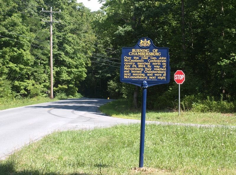
Photographed by Dan Guzy, August 13, 2024
2. Burning Of Chambersburg Marker
This article by Dan Guzy was published in the August 7, 2024 issue of the Mercersburg Journal. It is reprinted here with permission.
Once again two Pennsylvania Historical and Museum Commission (PHMC) historical markers note Blairs Valley Road as the route for Confederate army invasions into Mercersburg and then Chambersburg during the Civil War. Painted cast aluminum markers for General J.E.B. Stuart cavalry’s 1862 invasion and General John McCausland cavalry’s 1864 invasion were both dedicated in 1947 but initially installed along the wrong roads. PHMC’s “Stuart’s Raid” marker was correctly relocated to Blairs Valley Road near the Maryland line in 2009, where it has stood undisturbed since.
PHMC’s “Burning of Chambersburg” marker for McCausland’s invasion was relocated at the intersection of Blairs Valley and Hunter Roads in August 2010, but by June 2011 it was missing—apparently stolen along with its post. For thirteen years all that remained at the spot was a post hole that eventually faded away. However, recently the marker suddenly reappeared at the intersection.
GregWeller, Montgomery Township Supervisor, noted that a property owner on Claylick Road reported finding the marker unexpectedly laying in his driveway last March. Alli Davis, the PHMC’s new Historical Marker Program Coordinator, relayed that after receiving a call from the township about the marker, their maintenance contractor retrieved, repaired, and reinstalled it.Photographed by Craig Stuart Hoffeditz, February 13, 20113. Burning Of Chambersburg MarkerThis image was taken just before its 13-year disappearance.
So, after a long disappearance and a mysterious reappearance, the “Burning of Chambersburg” historical marker now again stands on Blairs Valley Road along with the “Stuart’s Raid” marker. Let’s hope they stay there for many years to come.
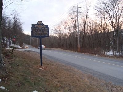
— Submitted August 17, 2024.
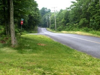
Photographed by Dan Guzy, June 5, 2011
4. Marker location while it was missing
Marker found missing as of June 3, 2011. It was found, repaired and refurbished by 2024.
Credits. This page was last revised on August 17, 2024. It was originally submitted on February 15, 2011, by Craig Stuart Hoffeditz of Mercersburg, Pennsylvania. This page has been viewed 1,374 times since then and 49 times this year. Last updated on June 4, 2011, by Dan Guzy of Mercersburg, Pennsylvania. Photos: 1, 2. submitted on August 15, 2024, by Dan Guzy of Mercersburg, Pennsylvania. 3. submitted on February 15, 2011, by Craig Stuart Hoffeditz of Mercersburg, Pennsylvania. 4. submitted on June 6, 2011, by Dan Guzy of Mercersburg, Pennsylvania. • Craig Swain was the editor who published this page.
