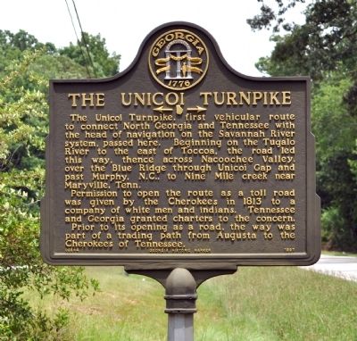
The Unicoi Turnpike
← →
Permission to open the route as a toll road was given by the Cherokees in 1813 to a company of white men and Indians. Tennessee and Georgia granted charters to the concern.
Prior to its opening as a road, the way was part of a trading path from Augusta to the Cherokees of Tennessee.
Erected 1997 by Georgia Department of Natural Resources. (Marker Number 068-4.)
Topics and series. This historical marker is listed in these topic lists: Native Americans • Roads & Vehicles. In addition, it is included in the Georgia Historical Society series list. A significant historical year for this entry is 1813.
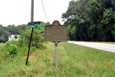
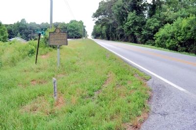
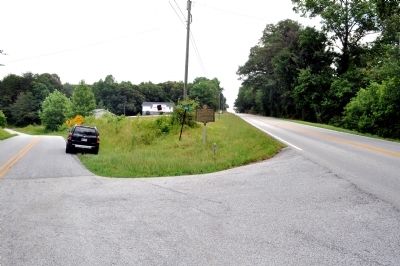
Location. 34° 38.307′ N, 83° 28.618′ W. Marker is in Clarkesville, Georgia, in Habersham County. Marker is at the intersection of Hollywood Highway (Old U.S. 441) and Buckhorn Road (County Route 129), on the right when traveling north on Hollywood Highway. Touch for map
Other nearby markers. At least 8 other markers are within 6 miles of this marker, measured as the crow flies. Summer Home of Joseph Habersham (approx. 1.2 miles away); Living & Learning In The Mountains (approx. 3.1 miles away); Grace Protestant Episcopal Church (approx. 3.1 miles away); Toombs-Bleckley House (approx. 3.1 miles away); De Soto (approx. 3.3 miles away); Clarkesville War Memorial (approx. 3.3 miles away); Habersham County (approx. 3.3 miles away); Habersham Iron Works & Mfg. Co. (approx. 5.8 miles away). Touch for a list and map of all markers in Clarkesville.
More about this marker. This marker replaced an earlier marker of the same title and text erected by the Georgia Historical Commission at this location, which had disappeared.
Credits. This page was last revised on June 16, 2016. It was originally submitted on June 23, 2011, by David Seibert of Sandy Springs, Georgia. This page has been viewed 1,011 times since then and 37 times this year. Photos: 1, 2, 3, 4. submitted on June 23, 2011, by David Seibert of Sandy Springs, Georgia. • Bill Pfingsten was the editor who published this page.


