
Near Keystone in Pennington County, South Dakota — The American Midwest (Upper Plains)
Peter Norbeck
Photographed by Keith L, September 22, 2006
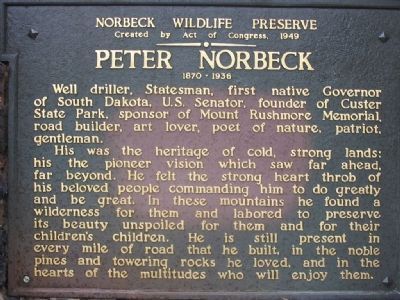
1. Peter Norbeck Marker
Created by Act of Congress, 1949
Peter Norbeck
1870 – 1936
Well driller, Statesman, first native Governor of South Dakota, U.S. Senator, founder of Custer State Park, sponsor of Mount Rushmore Memorial, road builder, art lover, poet of nature, patriot, gentleman.
His was the heritage of cold, strong lands: his the pioneer vision which saw far ahead, far beyond. He felt the strong heart throb of his beloved people commanding him to do greatly and be great. In these mountains he found a wilderness for them and labored to preserve its beauty unspoiled for them and for their children's children. He is still present in every mile of road that he built, in the noble pines and towering rocks he loved, and in the hearts of the multitudes who will enjoy them.
Topics. This historical marker is listed in these topic lists: Animals • Arts, Letters, Music • Environment • Patriots & Patriotism • Roads & Vehicles. A significant historical year for this entry is 1949.
Location. 43° 51.514′ N, 103° 26.046′ W. Marker is near Keystone, South Dakota, in Pennington County. It is on
this page online

Regionally, this marker is in South Dakota’s West River, in the Badlands, and in Greater Rapid City. It is also in the American Black Hills, in the Lewis & Clark Corridor, on the prairies, and on the Northern Plains. Globally, it is in North America, the Western Hemisphere, the Western World, and the Anglosphere. Historically, it finds itself in what was once Rupert’s Land and also the Louisiana Purchase.
Other nearby markers. At least 8 other markers are within 2 miles of this marker, measured as the crow flies: The Father of Mount Rushmore (approx. 0.7 miles away); The Pigtail Bridges (approx. ¾ mile away); Significant Black Hills Native American Sites (approx. 1½ miles away); Traditional Ecological Knowledge (approx. 1½ miles away); Ancient Stone Circles (approx. 1½ miles away); Celestial and Earthly Locations
Photographed by William J. Toman, August 11, 2020
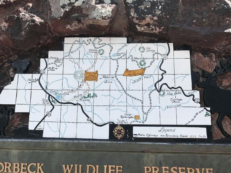
2. Map above Peter Norbeck Marker
Additional keywords. Black Hills National Forest
Photographed by William J. Toman, August 11, 2020
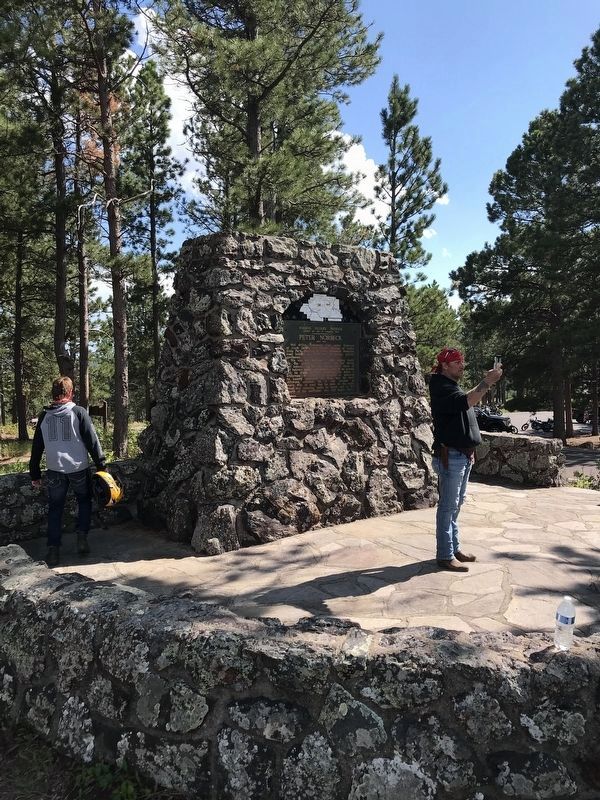
3. Peter Norbeck Marker
Photographed by Keith L, September 26, 2007
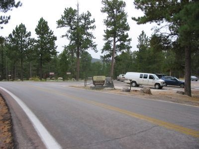
4. Norbeck Overlook
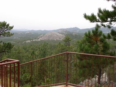
Photographed by Keith L, September 22, 2006
5. View from Overlook
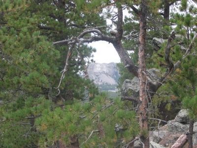
Photographed by Keith L, September 22, 2006
6. Mount Rushmore National Memorial
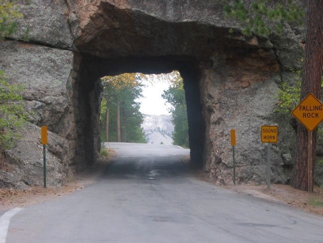
Photographed by Keith L, September 22, 2006
7. U.S. Highway 16A Tunnel
Credits. This page was last revised on August 13, 2020. It was originally submitted on December 27, 2007, by Keith L of Wisconsin Rapids, Wisconsin. This page has been viewed 2,184 times since then and 47 times this year. Photos: 1. submitted on December 27, 2007, by Keith L of Wisconsin Rapids, Wisconsin. 2, 3. submitted on August 13, 2020, by William J. Toman of Green Lake, Wisconsin. 4, 5, 6, 7. submitted on December 27, 2007, by Keith L of Wisconsin Rapids, Wisconsin. • J. J. Prats was the editor who published this page.
