Mountain Top in Luzerne County, Pennsylvania — The American Northeast (Mid-Atlantic)
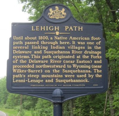
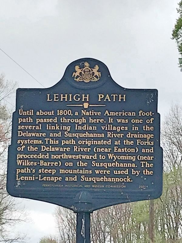
Lehigh Path
Erected 2001 by Pennsylvania Historical and Museum Commission.
Topics and series. This historical marker is listed in these topic lists: Native Americans • Roads & Vehicles. In addition, it is included in the Pennsylvania Historical and Museum Commission series list. A significant historical year for this entry is 1800.
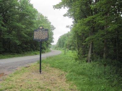
Location. This marker has been replaced by another marker nearby. 41° 5.254′ N, 75° 53.252′ W. Marker is in Mountain Top, Pennsylvania, in Luzerne County. Marker is on Honeyhole Road (County Road 41). Touch for map. Marker is in this post office area: Mountain Top PA 18707, United States of America. Touch for directions.
Other nearby markers. At least 8 other markers are within 7 miles of this location, measured as the crow flies. Saints Peter and Paul Lutheran Church (approx. 5.1 miles away); White Haven (approx. 6.2 miles away); Dorrance Township War Memorial (approx. 6.3 miles away); Dorrance Township Veterans Memorial (approx. 6.3 miles away); Thank Josiah White (approx. 6.4 miles away); Exploring The Corridor (approx. 6.4 miles away); The Church of the Immaculate Conception (approx. 6.6 miles away); The tree of liberty (approx. 6.6 miles away).
Also see . . . Lehigh Path, Drums, Luzerne County - MarkerQuest (blog). (Submitted on May 25, 2022, by Laura Klotz of Northampton, Pennsylvania.)
Additional commentary.
1. Lehigh Path
Sign is no longer there.
— Submitted July 24, 2015, by Carolyn Martienssen of West Hazleton, Pennsylvania.
2. Marker no longer missing
The missing marker has been replaced. My sister was there two weeks ago and sent me a photograph.
— Submitted May 25, 2022, by Laura Klotz of Northampton, Pennsylvania.
Credits. This page was last revised on May 26, 2022. It was originally submitted on July 3, 2011, by Kevin W. of Stafford, Virginia. This page has been viewed 684 times since then and 29 times this year. Photos: 1, 2. submitted on July 3, 2011, by Kevin W. of Stafford, Virginia. 3. submitted on May 25, 2022, by Laura Klotz of Northampton, Pennsylvania.


