
Steubenville in Jefferson County, Ohio — The American Midwest (Great Lakes)
Ohio River Lock and Dam 10 Site
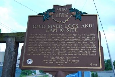
Photographed by Mike Wintermantel, July 3, 2011
1. Ohio River Lock and Dam 10 Site Marker
Erected 2003 by Ohio Bicentennial Commission - Tall Stacks, Inc. - Steubenville Marina Committee - The Ohio Historical Society. (Marker Number 6-41.)
Topics and series. This historical marker is listed in these topic lists: Environment • Waterways & Vessels. In addition, it is included
this page online
Location. 40° 22.743′ N, 80° 36.952′ W. Marker is in Steubenville, Ohio, in Jefferson County. It can be reached from US Highway 22. Located at the Steubenville Marina on the Ohio River. Touch for map. Marker is in this post office area: Steubenville OH 43952, United States of America. Touch for directions.

Regionally, this marker is in Ohio’s High Valley. It is also in the American Midwest, in the Ohio River Valley, in Appalachia, and specifically in Northern Appalachia. Globally, it is in North America, the Western Hemisphere, the Western World, and the Anglosphere. Historically, it finds itself in what was once the Viceroyalty of New France, the Haudenosaunee (Iroquois) Confederacy, the territory of the Mississippian Culture, and the Northwest Territory.
Other nearby markers. At least 8 other markers are within 2 miles of this marker, measured as the crow flies: Bell from Holy Resurrection Serbian Orthodox Church (approx. 0.9 miles away); Saint Peters Catholic Church (approx. one mile away); Ohio's Official Rock Song
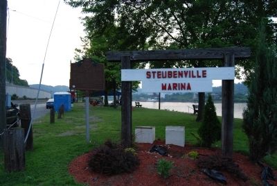
Photographed by Mike Wintermantel, July 3, 2011
2. Ohio River Lock and Dam 10 Site Marker
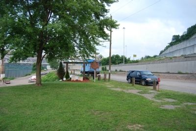
Photographed by Mike Wintermantel, July 3, 2011
3. Ohio River Lock and Dam 10 Site Marker
Credits. This page was last revised on March 2, 2026. It was originally submitted on July 4, 2011, by Mike Wintermantel of Pittsburgh, Pennsylvania. This page has been viewed 3,018 times since then and 73 times this year. Photos: 1, 2, 3. submitted on July 4, 2011, by Mike Wintermantel of Pittsburgh, Pennsylvania.
