Ewing in Lee County, Virginia — The American South (Mid-Atlantic)
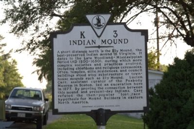
Indian Mound
Erected 2000 by Department of Historic Resources. (Marker Number K-3.)
Topics and series. This historical marker is listed in these topic lists: Anthropology & Archaeology • Landmarks • Native Americans. In addition, it is included in the Virginia Department of Historic Resources (DHR) series list. A significant historical year for this entry is 1877.
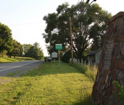
Location. 36° 39.22′ N, 83° 24.043′ W. Marker is in Ewing, Virginia, in Lee County. Marker is on Daniel Boone Trail (Business U.S. 58) just west of Smith Hollow Road, on the right when traveling west. Touch for map. Marker is in this post office area: Ewing VA 24248, United States of America. Touch for directions.
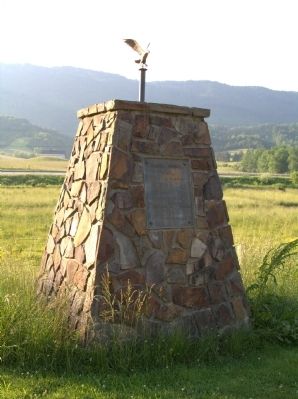
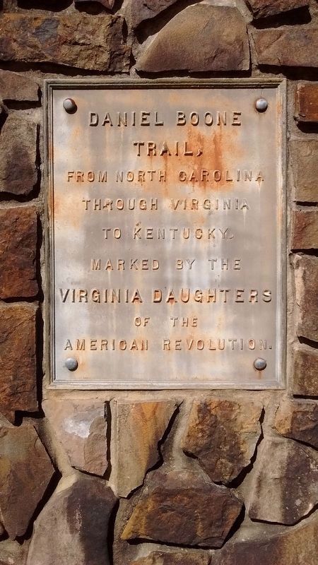
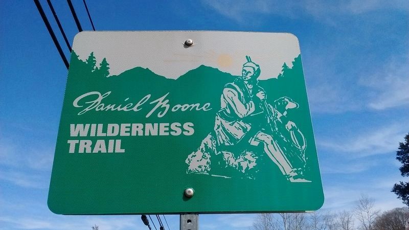
Other nearby markers. At least 8 other markers are within 6 miles of this marker, measured as the crow flies. Daniel Boone Trail (here, next to this marker); William H. Starnes: Agricultural Educator (approx. 0.8 miles away); Hiking Up to White Rocks (approx. 1.9 miles away); White Rocks (approx. 2.7 miles away); Martin’s Station (approx. 3 miles away); John Ball (approx. 3.2 miles away); Lee County Code Breakers (approx. 5.1 miles away); Pioneer Graves (approx. 6.1 miles away). Touch for a list and map of all markers in Ewing.
More about this marker. This marker replaced an earlier marker with the same name and number which read, “the knoll a short distance to the north is an Indian burial mound. The Cherokees were the principal tribe inhabiting this region.”
1930s marker guidebooks list another marker with the same name and number at this location which read, “the two knolls a short distance to the north are Indian burial mounds.”
Also see . . .
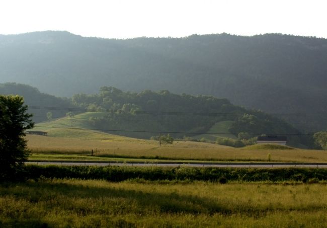
Woodland Indians in Virginia. Page in Charles A. Grymes’ Virginia Places website. “Ely Mound is one of three mounds in Lee County that may have formed a city complex. It was excavated in the 1870s. At that time the mound still had the rotting cedar posts of what may have been a building used by tribal leaders of that area. Ely Mound is about as close to Monticello or Mount Vernon as you can get, for that now-vanished culture.” (Submitted on July 8, 2011.)
Credits. This page was last revised on July 7, 2021. It was originally submitted on July 7, 2011, by J. J. Prats of Powell, Ohio. This page has been viewed 2,019 times since then and 99 times this year. Photos: 1. submitted on July 7, 2011, by J. J. Prats of Powell, Ohio. 2, 3, 4. submitted on July 8, 2011, by J. J. Prats of Powell, Ohio. 5, 6. submitted on April 25, 2020, by Tom Bosse of Jefferson City, Tennessee.
