Near Lodgepole Village, Sequoia National Park in Tulare County, California — The American West (Pacific Coastal)
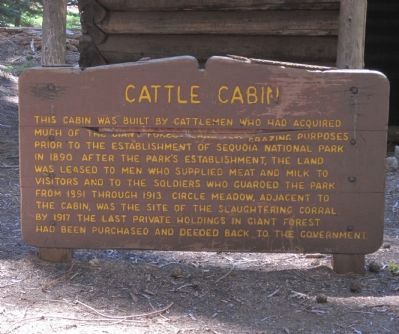
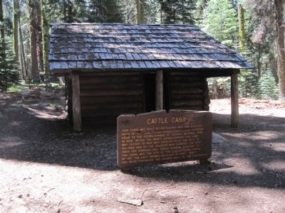
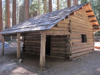
Cattle Cabin
Topics. This historical marker is listed in these topic lists: Agriculture • Animals • Environment. A significant historical year for this entry is 1890.
Location. 36° 34.235′ N, 118° 45.26′ W. Marker is near Lodgepole Village, Sequoia National Park, California, in Tulare County. This marker is located in Sequoia National Park in the Giant Forest. It may be found on the Circle Meadow Trail which can be accessed from trailheads at either the Sherman Tree parking area or the Giant Forest Museum. Touch for map. Marker is in this post office area: Sequoia National Park CA 93262, United States of America. Touch for directions.
Other nearby markers. At least 8 other markers are within 2 miles of this marker, measured as the crow flies. General Sherman Tree (approx. 0.7 miles away); For the Good of the Giants (approx. 1.1 miles away); Stephen Tyng Mather (approx. 1.3 miles away); The CCC Boys (approx. 1.3 miles away); Colonel Young: A Buffalo Soldier (approx. 1.4 miles away); Auto Log (approx. 1.4 miles away); Call the Cavalry! (approx. 1˝ miles away); Buttress Tree (approx. 1˝ miles away).
Credits. This page was last revised on June 16, 2016. It was originally submitted on July 8, 2011, by Barry Swackhamer of Brentwood, California. This page has been viewed 813 times since then and 21 times this year. Photos: 1, 2, 3. submitted on July 8, 2011, by Barry Swackhamer of Brentwood, California. • Syd Whittle was the editor who published this page.


