Near Washington in Nevada County, California — The American West (Pacific Coastal)
The History of This Area
The Native People
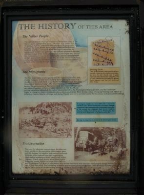
The cultural history of people inhabiting the western slope of the Sierras spans a period of at least 3,500 years. It is known that the Nisenan, a Native California tribe, occupied the geographic region between the Sierra Buttes, those rugged peaks outlined on the horizon, and the Consumnes River drainage to the south. As experienced hunters and gatherers, the Nisenan possessed considerable knowledge of the plants and animals of the region and utilized this information to acquire food during the summer-spring portion of their annual subsistence round. The life of the Nisenan remained unchanged until the mid-1800’s arrival of people from the eastern portion of the country, Europe and Asia.
The Immigrants
The first major entry of immigrants into the region occurred in 1849 when a company of men from Indiana decided to winter over on a small flat on the south bank of the South Yuba River which was given the name of “Indiana Camp.” The discovery of gold at this location insured the permanence of this camp which was renamed Washington as a patriotic gesture on the part of its citizenry on July 4, 1850. As mining operations expanded, the region became known as the Washington Mining District, and the landscape began to change as water conveyance systems were constructed. New mining camps sprang up bearing such names as Jefferson, Gaston, Maybert, Omega and Alpha. Timber was cut to provide lumber for the mines and associated buildings.
Transportation
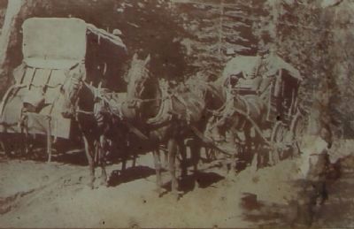
The need for adequate transportation facilities surfaced quickly as the population of the region grew and the demand for supplies and services increased. Evidence of the various types of transportation employed in satisfaction of this need is still visible. Highway 20 still winds its way along Washington Ridge and closely follows the route of the Nevada and Washington Toll Road. An important way station associated with this road, the Junction House, was located to the east of this vista point. The harvesting of timber spawned the construction of the Towle Brothers Narrow Gauge Railroad whose tracks provided access to large stands of timber in the Yuba and Bear River drainages
Erected by National Forest Service, Tahoe National Forest.
Topics. This historical marker is listed in these topic lists: Horticulture & Forestry • Native Americans • Roads & Vehicles • Settlements & Settlers. A significant historical month for this entry is July 1910.
Location. 39° 19.064′ N, 120° 48.955′ W. Marker is near Washington, California, in Nevada County. Marker is on State Highway 20, on the right when traveling east. Touch for map. Marker is at or near this postal address: 28536 California 20, Washington CA 95986, United States of America. Touch for directions.
Other nearby markers. At least 8 other markers are within 3 miles of this marker, measured as the crow flies. Emigrant Trail to Nevada City (about 400 feet away, measured in a direct line); Nevada City Road - Opposite Washington Diggings (approx. 1.2 miles away); Nevada City Road - No Water on Washington Ridge (approx. 2.7 miles away); Washington (approx. 2.9 miles away); Washington Elementary School (approx. 2.9 miles away); Brimskill Building (approx. 3 miles away); a different marker also named Washington (approx. 3 miles away); Kohler Building (approx. 3 miles away). Touch for a list and map of all markers in Washington.
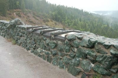
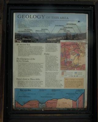
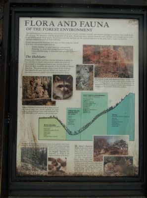
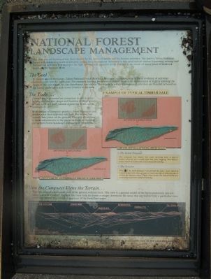
More about this marker. This marker is located at the Washington Ridge Overlook. It is found on the top of the stone retaining wall along with three additional informational markers. The subjects of these markers are: Geology of This Area, Flora and Fauna of the Forest Environment and National Forest Landscape Management.
Photographed By Barry Swackhamer
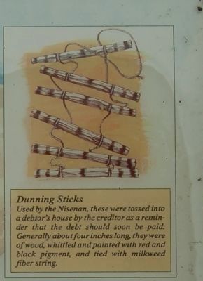
3. Inset on Marker
Photographed By Barry Swackhamer, June 4, 2011
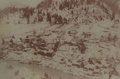
4. Detail from the Marker
Washington, California, circa 1900 with a view to the southeast. The Chinese community is located in the right foreground. The community church located in the center of this picture was originally built by the Catholic Church. Unlike most mining towns, Washington has never had the misfortune to be destroyed by fire.
Credits. This page was last revised on June 16, 2016. It was originally submitted on July 16, 2011, by Barry Swackhamer of Brentwood, California. This page has been viewed 820 times since then and 27 times this year. Photos: 1, 2, 3, 4, 5, 6, 7, 8. submitted on July 16, 2011, by Barry Swackhamer of Brentwood, California. • Syd Whittle was the editor who published this page.
Editor’s want-list for this marker. Scenic View of the Sierra Buttes. • Can you help?
