Near Newell in Hancock County, West Virginia — The American South (Appalachia)
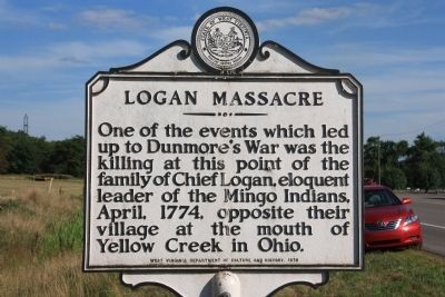
Logan Massacre
Erected 1979 by West Virginia Department of Culture and History.
Topics and series. This historical marker is listed in these topic lists: Colonial Era • Native Americans • Wars, US Indian. In addition, it is included in the West Virginia Archives and History series list. A significant historical year for this entry is 1774.
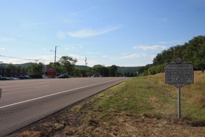
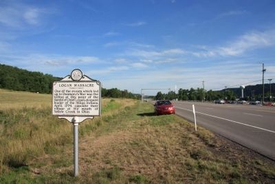
Location. 40° 34.963′ N, 80° 39.174′ W. Marker is near Newell, West Virginia, in Hancock County. Marker is on West Virginia Route 2 north of Dry Run Road, on the right when traveling north. This historical marker is on the opposite side of the street from both Waterford Raceway Park and the Mountaineer Casino. Touch for map. Marker is in this post office area: Newell WV 26050, United States of America. Touch for directions.
Other nearby markers. At least 8 other markers are within 3 miles of this marker, measured as the crow flies. Lest We Forget - Chief Logan (approx. 1.2 miles away in Ohio); Ascension Church (approx. 1.3 miles away in Ohio); Wellsville's Oldest Bell (approx. 1.8 miles away in Ohio); You Are Not Forgotten (approx. 1.9 miles away in Ohio); Veterans Memorial (approx. 1.9 miles away in Ohio); The Whitacre House Site (approx. 1.9 miles away in Ohio); 9/11 Memorial (approx. 2.2 miles away in Ohio); Wellsville Mural (approx. 2.2 miles away in Ohio).
Credits. This page was last revised on June 16, 2016. It was originally submitted on July 18, 2011, by Dale K. Benington of Toledo, Ohio. This page has been viewed 2,840 times since then and 99 times this year. Photos: 1, 2, 3. submitted on July 21, 2011, by Dale K. Benington of Toledo, Ohio.


