Natchez in Adams County, Mississippi — The American South (East South Central)
Natchez
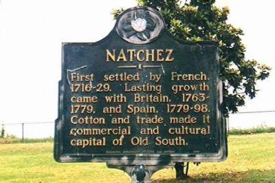
Photographed by Michael Stroud, June 1998
1. Natchez Marker
Erected 1949 by Mississippi Department of Archives and History.
Topics and series. This historical marker is listed in these topic lists: Agriculture • Colonial Era • Industry & Commerce • Settlements & Settlers. In addition, it is included in the Mississippi State Historical Marker Program series list.
Location. 31° 33.7′ N, 91° 24.4′ W. Marker is in Natchez, Mississippi, in Adams County. It is at the intersection of S. Broadway St and Bontura Street, on the right when traveling south on S. Broadway St. Marker is located in Bluff Park, near the pavilion. Touch for map. Marker is in this post office area: Natchez MS 39120, United States of America. Touch for directions.

Regionally, this marker is in Southwest Mississippi and in Natchez Trace Corridor. It is also in the American South, specifically in the Deep South, and in the Great River Road Region. Globally, it is in North
this page online
Other nearby markers. At least 8 other markers are within walking distance of this marker: Richard N. Wright (a few steps from this marker); Bluff Park - Playground for the City (within shouting distance of this marker); Spanish Colonial Natchez (within shouting distance of this marker); Bluff Park - Memorials and Louisiana Connections (within shouting distance of this marker); The Natchez Trace (about 300 feet away, measured in a direct line); Bluff Park and South Broadway Street (about 300 feet away); Ealey Brothers (about 400 feet away); Intersection of Main and Canal Streets (about 400 feet away). Touch for a list and map of all markers in Natchez.
Also see . . .
1. National Park Service Website for Natchez National Historical Park. (Submitted on January 5, 2008, by Kevin W. of Stafford, Virginia.)
2. Wikipedia entry for Natchez, Mississippi.
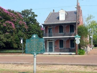
Photographed by Karen Key, July 20, 2008
2. Natchez Marker
Additional commentary.
1. Natchez
Built on the site of an ancient Indian village and named after the tribe, which inhabited it, Natchez, Mississippi is one of the oldest cities in North American.
— Submitted January 3, 2008, by Mike Stroud of Bluffton, South Carolina.
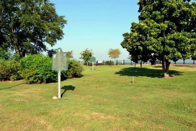
Photographed by Duane Hall, August 4, 2015
3. Natchez Marker
Richard N. Wright marker and Bluff Park - Memorials and Louisiana Connections marker in background
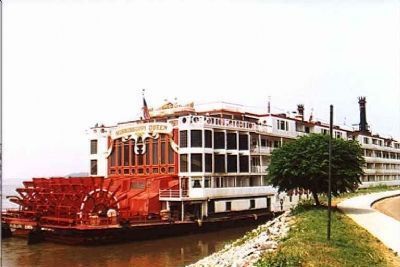
Photographed by Michael Stroud, June 1998
4. Mississippi Queen
Just down the street, refurbished Natchez Under-the-Hill (Silver St.) attracts tourists to bars, shops, and a riverboat casino docked at the infamous landing where gamblers, thieves, and prostitutes once thrived.
Photographed by Michael Stroud, June 1998
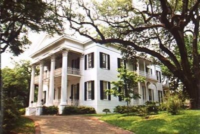
5. Stanton Hall
401 High St, Built in 1857 by Fredrick Stanton
Photographed by Michael Stroud, June 1998
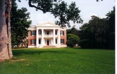
6. Melrose Mansion
1 Melrose Montabello Parkway is a textbook Greek Revival edifice of perfect symmetry. Informative tours discuss the Natchez wealthy elite and their slave-driven economy. The site contains an exhibit on slavery and recreated slave quarters.
Credits. This page was last revised on February 2, 2020. It was originally submitted on January 3, 2008, by Mike Stroud of Bluffton, South Carolina. This page has been viewed 3,120 times since then and 46 times this year. Photos: 1. submitted on January 3, 2008, by Mike Stroud of Bluffton, South Carolina. 2. submitted on August 8, 2008, by Karen Key of Sacramento, California. 3. submitted on August 14, 2015, by Duane Hall of Abilene, Texas. 4, 5, 6. submitted on January 3, 2008, by Mike Stroud of Bluffton, South Carolina. • Kevin W. was the editor who published this page.
