Near Ticonderoga in Essex County, New York — The American Northeast (Mid-Atlantic)
Carillon Outpost
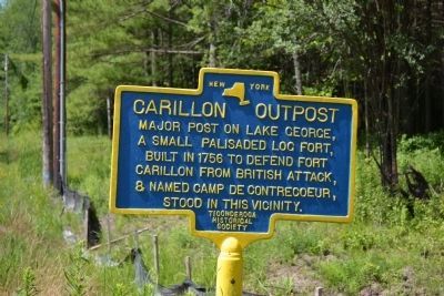
Photographed by Joe Harness, July 16, 2011
1. Carillon Outpost Marker
Major post on Lake George, a small palisaded log fort, built in 1756 to defend Fort Carillon from British attack, & named Camp De Contrecoeur, stood in this vicinity.
Erected by Ticonderoga Historical Society.
Topics and series. This historical marker is listed in these topic lists: Colonial Era • Forts and Castles • War, French and Indian. In addition, it is included in the Historic Bells series list. A significant historical year for this entry is 1756.
Location. 43° 48.961′ N, 73° 26.372′ W. Marker is near Ticonderoga, New York, in Essex County. It is on Baldwin Road (County Route 5) 0.1 miles south of Howes Landing, on the right when traveling south. Touch for map. Marker is at or near this postal address: 318 Baldwin Road, Ticonderoga NY 12883, United States of America. Touch for directions.

Regionally, this marker is in Upstate New York, in the Adirondacks & North Country, and in the Champlain Valley. It is also in the American Northeast and in the Mid-Atlantic. Globally, it is in North America, the Great North Woods, the Western Hemisphere, the Western World, and the Anglosphere. Historically,
this page online
Other nearby markers. At least 8 other markers are within 2 miles of this marker, measured as the crow flies: Abercrombie's Landing (within shouting distance of this marker); Prince Taylor (approx. 0.7 miles away); Gen. Henry Knox Trail (approx. 0.8 miles away); 1759 Blockhouse (approx. 0.8 miles away); Lake George (approx. one mile away); Indian Trail (approx. 1.1 miles away); LaChute River Trail (approx. 1½ miles away); Cliff Seat (approx. 1.6 miles away). Touch for a list and map of all markers in Ticonderoga.
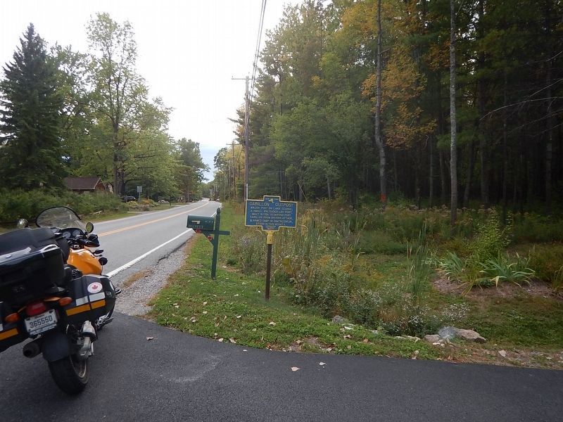
Photographed by Kevin Craft, September 30, 2016
2. Wideview of Carillon Outpost Marker
Credits. This page was last revised on October 3, 2016. It was originally submitted on July 27, 2011, by Joe Harness of Little Egg Harbor, New Jersey. This page has been viewed 1,062 times since then and 35 times this year. Photos: 1. submitted on July 27, 2011, by Joe Harness of Little Egg Harbor, New Jersey. 2. submitted on October 3, 2016, by Kevin Craft of Bedford, Quebec. • Bill Pfingsten was the editor who published this page.
