Red Lodge in Carbon County, Montana — The American West (Mountains)
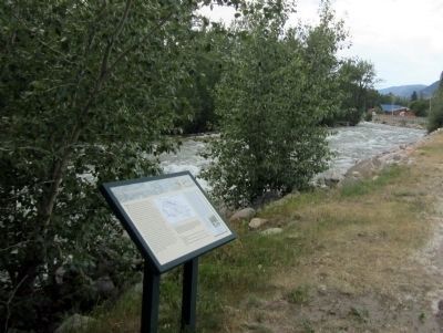
The Beartooth Plateau
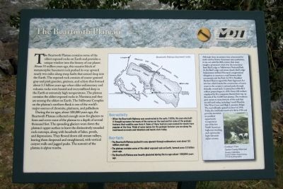
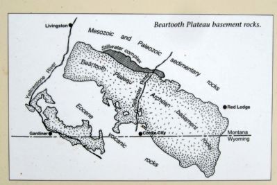
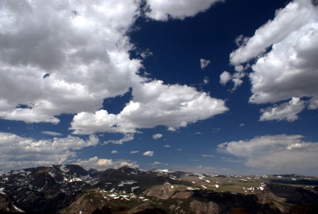
The Beartooth Plateau contains some of the oldest exposed rocks on Earth and provides a unique window into the history of our planet. About 55 million years ago, this massive block of metamorphic basement rock pushed its way upward nearly two miles along steep faults that extend deep into the Earth. The exposed rock consists of coarse-grained gray and pink granites, gneisses, and schists that formed about 3.3 billion years ago when older sedimentary and volcanic rocks were heated and recrystallized deep in the Earth at extremely high temperatures. The plateau contains the oldest exposed rocks in Montana and they are among the oldest on Earth. The Stillwater Complex on the plateau’s northern flank is one of the world’s major sources of chromite, platinum, and palladium.
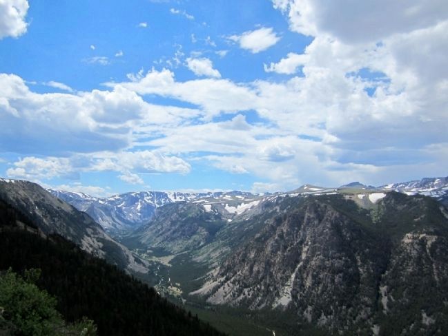
During the ice ages, about 100,000 years ago, the Beartooth Plateau collected enough snow for glaciers to form and cover most of the plateau to a depth of several thousand feet. The spreading glaciers wore down the plateau’s upper surface to leave the distinctively rounded rock outcrops, along with hundreds of lakes, ponds, and depressions. They flowed down old stream valleys, leaving them deepened and straightened, with vertical canyon walls and jagged peaks. The summit of the plateau is alpine tundra.
(sidebar)
Geo-activity
• When the Beartooth Highway was constructed in the early 1930s, the men who built it thought up names for many of the curves on the road and for some of the geologic features that could be seen from it. Some of those features were named for movie stars popular at the time. Think of some names for the geologic features you see along the road based on movie and television and movie stars today.
Geo-facts
• The Beartooth Plateau pushed its way upward through sedimentary rock about 55 million years ago. • The plateau contains some of the oldest exposed rock on Earth, formed some 3.3 billion years ago. • The Beartooth Plateau was heavily glaciated during the Ice ages about 100,000 years ago.
(sidebar)
Although these mountains were crisscrossed by trails used by Native Americans since prehistory, it was not until the 20th century that many sought a permanent route over the mountains from Red Lodge to Yellowstone National Park. As the Red Lodge coal mines closed, Red Lodge businessmen lobbied Montana’s congressional delegation to construct a road between their community and the Park. In 1931, President Herbert Hoover signed the Park Approach Act into law, which funded the construction of scenic routes to the country’s national parks through federally-owned land. Construction of the $2.5 million project began in 1932. Some 100 workers employed by five companies blasted their way up the side of the 11,000-foot plateau. The workmen gave names to many features of the road that are still used today, including Lunch Meadow, Mae West Curve and High Lonesome Ridge. The road officially opened on June 14, 1936. Today, the road looks much as it did in 1936 and provides motorists an excellent opportunity to experience one of the few North American highways reaching such spectacular high-elevation alpine scenery.
Erected by Montana Department of Transportation.
Topics and series. This historical marker is listed in these topic lists: Roads & Vehicles • Science & Medicine. In addition, it is included in the Former U.S. Presidents: #31 Herbert Hoover series list. A significant historical month for this entry is June 1884.
Location. 45° 10.625′ N, 109° 14.881′ W. Marker is in Red Lodge, Montana, in Carbon County. Marker is at the intersection of South Broadway Avenue (U.S. 212) and South Hauser Avenue, on the right when traveling east on South Broadway Avenue. Located in Liver-Eating Johnston Park. Touch for map. Marker is in this post office area: Red Lodge MT 59068, United States of America. Touch for directions.
Other nearby markers. At least 8 other markers are within walking distance of this marker. Red Lodge (a few steps from this marker); The Red Lodge Country (within shouting distance of this marker); Neithammer Brothers Meat Market
(approx. half a mile away); Roman Theatre (approx. 0.6 miles away); W.R. Hall Building (approx. 0.6 miles away); Montana Bakery (approx. 0.6 miles away); Red Lodge Commercial District (approx. 0.6 miles away); Plunkett's Hardware (approx. 0.6 miles away). Touch for a list and map of all markers in Red Lodge.
More about this marker. On the lower right is a photo with the caption, "Cowboy’s View Carbon County Historical Society Collection. (Courtesy Northern Pacific Railway, F.W. Byerly, photographer)"
Credits. This page was last revised on October 14, 2020. It was originally submitted on July 30, 2011, by Bernard Fisher of Richmond, Virginia. This page has been viewed 805 times since then and 14 times this year. Photos: 1, 2, 3, 4. submitted on July 30, 2011, by Bernard Fisher of Richmond, Virginia. 5. submitted on August 1, 2011, by Bernard Fisher of Richmond, Virginia.
