Near Ticonderoga in Essex County, New York — The American Northeast (Mid-Atlantic)
Abercrombie's Landing
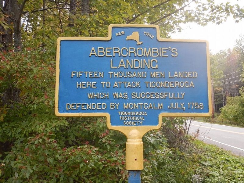
Photographed by Kevin Craft, September 30, 2016
1. Abercrombie's Landing Marker
Fifteen thousand men landed here to attack Ticonderoga which was successfully defended by Montcalm July, 1758
Erected by Ticonderoga Historical Society.
Topics. This historical marker is listed in these topic lists: Colonial Era • War, French and Indian. A significant historical year for this entry is 1758.
Location. 43° 48.987′ N, 73° 26.33′ W. Marker is near Ticonderoga, New York, in Essex County. It is on Baldwin Road 0.1 miles south of Howes Landing, on the left when traveling south. Touch for map. Marker is at or near this postal address: 307 Baldwin Road, Ticonderoga NY 12883, United States of America. Touch for directions.

Regionally, this marker is in Upstate New York, in the Adirondacks & North Country, and in the Champlain Valley. It is also in the American Northeast and in the Mid-Atlantic. Globally, it is in North America, the Great North Woods, the Western Hemisphere, the Western World, and the Anglosphere. Historically, it finds itself in what was once the Viceroyalty of New France, New Netherland, and one of the original Thirteen Colonies.
Other nearby markers. At least 8 other markers
this page online
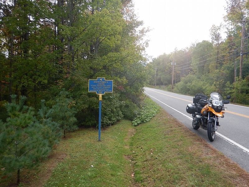
Photographed by Kevin Craft, September 30, 2016
2. Wideview of Abercrombie's Landing Marker
Credits. This page was last revised on October 3, 2016. It was originally submitted on July 30, 2011, by Joe Harness of Little Egg Harbor, New Jersey. This page has been viewed 1,330 times since then and 37 times this year. Photos: 1, 2. submitted on October 3, 2016, by Kevin Craft of Bedford, Quebec. • Bill Pfingsten was the editor who published this page.
