Missionary Ridge in Chattanooga in Hamilton County, Tennessee — The American South (East South Central)
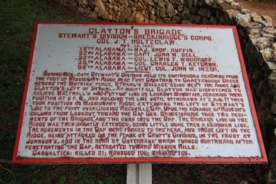
Clayton's Brigade
Stewart's Division - Breckinridge's Corps.
— Col. J. T. Holtzclaw. —
Stewart's Division - Breckinridge's Corps.
Col. J. T. Holtzclaw.
Nov. 25, 1863.
18th Alabama - Maj. Shop Ruffin.
32nd Alabama - Capt. John W. Bell.
36th Alabama - Col. Lewis T. Woodruff.
38th Alabama - Col. Charles T. Ketchun.
58th Alabama - Lieut. Col. John W. Inzer.
During Nov. 24th Stewart's Division held its earthworks reaching from the foot of Missionary Ridge near Fort Cheatham to Chattanooga Creek beyond the Watkins' place. Strahl's Brigade being next the ridge and Clayton's left of Strahl. At nightfall Clayton was dispatched to relieve Walthall's and Pettus' line on Lookout Mountain, reaching their position at 3 p.m. and holding the line until withdrawn at 2 a.m. It then took position on Missionary Ridge extending the left of Stewart's line to the point overlooking Rossville Gap. Upon the advance of Hooker's column from Lookout toward the Gap Gen. Breckinridge took two regiments of the Brigade and two guns into the Gap. The Brigade line on the Ridge was then greatly extended, being little more then a skirmish line. The regiments in the Gap were forced to the rear, and those left on the Ridge, being attacked on the flank by Cruft's Division, on the front by Johnson's, and in the rear by Osterhaus' which turned northward after penetrating the Gap, retreated toward Mission Mills.
Casualties: killed 21; wounded 100; missing 706.
Erected 1890 by the Chickamauga and Chattanooga National Military Park Commission. (Marker Number MT-368A.)
Topics and series. This historical marker is listed in this topic list: War, US Civil. In addition, it is included in the Chickamauga and Chattanooga National Military Park, Missionary Ridge, and the Chickamauga and Chattanooga National Military Park: November 25, 1863 series lists. A significant historical date for this entry is October 25, 1682.
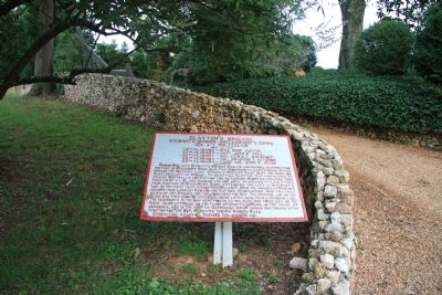
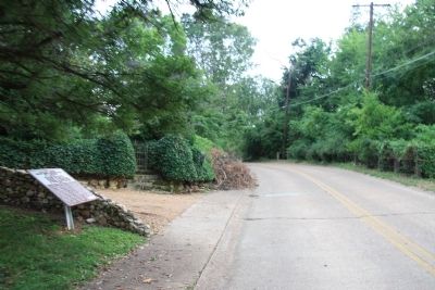
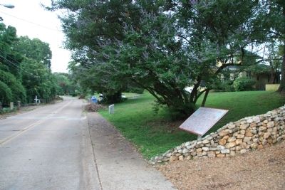
Location. 34° 59.55′ N, 85° 16.555′ W. Marker is in Chattanooga, Tennessee, in Hamilton County. It is in Missionary Ridge. Marker is on South Crest Road north of East Crest Road, on the left when traveling south. This historical marker is located near the southern end of Missionary Ridge, along its western crest, between the Bragg Reservation and the Rossville Gap. Touch for map. Marker is at or near this postal address: 604 South Crest Road, Chattanooga TN 37404, United States of America. Touch for directions.
Other nearby markers. At least 8 other markers are within walking distance of this marker. Company F 2nd Missouri Light Artillery (a few steps from this marker); Geary's Division (about 500 feet away, measured in a direct line); Creighton's Brigade (approx. 0.2 miles away); a different marker also named Geary's Division
(approx. 0.4 miles away); Whitaker's Brigade (approx. 0.4 miles away); 99th Ohio Infantry (approx. 0.4 miles away); Grose's Brigade (approx. 0.4 miles away); Cruft's Division (approx. 0.4 miles away). Touch for a list and map of all markers in Chattanooga.
Credits. This page was last revised on February 7, 2023. It was originally submitted on August 7, 2011, by Dale K. Benington of Toledo, Ohio. This page has been viewed 825 times since then and 38 times this year. Photos: 1, 2, 3, 4. submitted on August 7, 2011, by Dale K. Benington of Toledo, Ohio.


