Wagon Mound in Mora County, New Mexico — The American Mountains (Southwest)
Wagon Mound
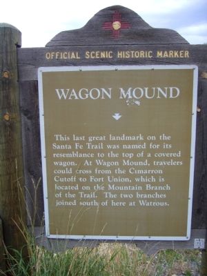
Photographed by Bill Kirchner, July 23, 2011
1. Wagon Mound Marker
Erected by New Mexico Historic Preservation Division.
Topics and series. This historical marker is listed in these topic lists: Natural Features • Roads & Vehicles. In addition, it is included in the Santa Fe Trail series list.
Location. 36° 0.697′ N, 104° 42.393′ W. Marker is in Wagon Mound, New Mexico, in Mora County. It is at the intersection of State Road 120 and Interstate 25, on the right when traveling east on State Road 120. The marker is just east of the Exit 387 offramp. Touch for map. Marker is in this post office area: Wagon Mound NM 87752, United States of America. Touch for directions.

Regionally, this marker is in Northern New Mexico. It is also in the American Southwest, in the Mountain West, and on the Santa Fe Trail Corridor. Globally, it is in North
this page online
Other nearby markers. At least 5 other markers are within 14 miles of this marker, measured as the crow flies: Sentinel on the Trail (a few steps from this marker); Santa Fe Trail (approx. 0.2 miles away); Fort Union National Monument 1851-1891 / Santa Fe Trail (approx. 12.6 miles away); a different marker also named Santa Fe Trail (approx. 14 miles away); a different marker also named Santa Fe Trail (approx. 14 miles away).
Also see . . . Wagon Mound, New Mexico. Wikipedia (Submitted on August 12, 2011, by Bernard Fisher of Richmond, Virginia.)
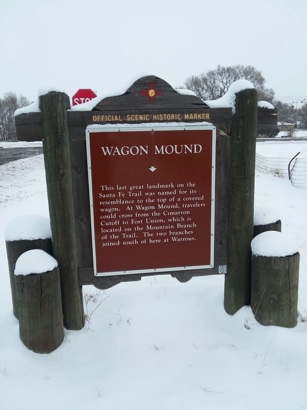
Photographed by Craig Doda, December 28, 2018
2. Wagon Mound Marker
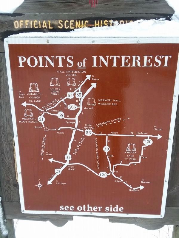
Photographed by Craig Doda, December 28, 2018
3. Wagon Mound Marker Reverse
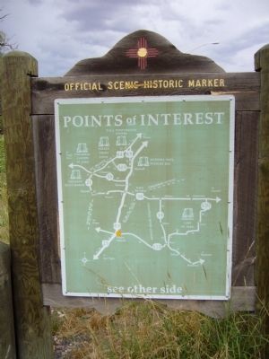
Photographed by Bill Kirchner, July 23, 2011
4. Wagon Mound Marker Reverse
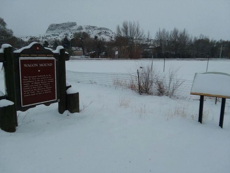
Photographed by Craig Doda, December 28, 2018
5. Wagon Mound Marker
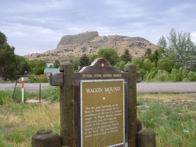
Photographed by Bill Kirchner, July 23, 2011
6. Wagon Mound Marker
Credits. This page was last revised on January 1, 2025. It was originally submitted on August 8, 2011, by Bill Kirchner of Tucson, Arizona. This page has been viewed 1,780 times since then and 69 times this year. Photos: 1. submitted on August 8, 2011, by Bill Kirchner of Tucson, Arizona. 2, 3. submitted on February 13, 2022, by Craig Doda of Napoleon, Ohio. 4. submitted on August 8, 2011, by Bill Kirchner of Tucson, Arizona. 5. submitted on February 13, 2022, by Craig Doda of Napoleon, Ohio. 6. submitted on August 8, 2011, by Bill Kirchner of Tucson, Arizona. • Bernard Fisher was the editor who published this page.
