Near Omaha in Stewart County, Georgia — The American South (South Atlantic)
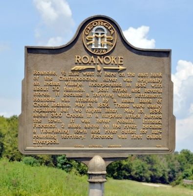
Roanoke
→
Erected 1956 by Georgia Historical Commission. (Marker Number 128-10.)
Topics and series. This historical marker is listed in these topic lists: Native Americans • Settlements & Settlers • Wars, US Indian. In addition, it is included in the Georgia Historical Society series list. A significant historical date for this entry is May 13, 1738.
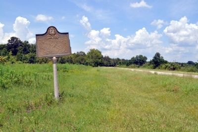
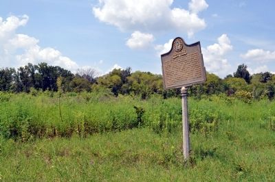
Location. Marker has been reported missing. It was located near 32° 3.001′ N, 85° 2.196′ W. Marker was near Omaha, Georgia, in Stewart County. Marker was on Georgia Route 39, 3 miles south of Georgia Route 39C, on the right when traveling south. Touch for map. Marker was in this post office area: Omaha GA 31821, United States of America. Touch for directions.
Other nearby markers. At least 8 other markers are within 10 miles of this location, measured as the crow flies. Fort Jones (approx. 0.7 miles away); Florence (approx. 2.7 miles away); Battle of Shepherd’s Plantation (approx. 3.8 miles away); Fort McCreary – 1836 (approx. 6.6 miles away); Indian Trail (approx. 7.3 miles away); Providence United Methodist Church (approx. 7˝ miles away); Rev. David Walker Lowe (approx. 7.8 miles away); Glennville (approx. 10.1 miles away in Alabama). Touch for a list and map of all markers in Omaha.
Additional commentary.
1. Missing
This marker is either gone or not roadside.
— Submitted September 28, 2018, by Amanda Bowers of Indianapolis, Indiana.
Credits. This page was last revised on January 5, 2019. It was originally submitted on August 20, 2011, by David Seibert of Sandy Springs, Georgia. This page has been viewed 665 times since then and 32 times this year. Photos: 1, 2, 3. submitted on August 20, 2011, by David Seibert of Sandy Springs, Georgia. • Bill Pfingsten was the editor who published this page.


