Highland Park in Saint Paul in Ramsey County, Minnesota — The American Midwest (Upper Plains)
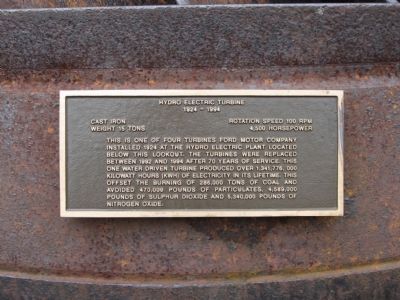
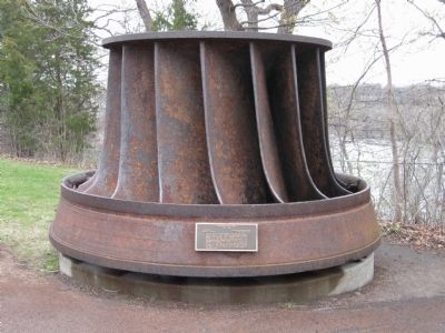
Hydro Electric Turbine
1924 – 1994
Weight 15 Tons • 4,500 Horsepower
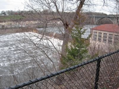
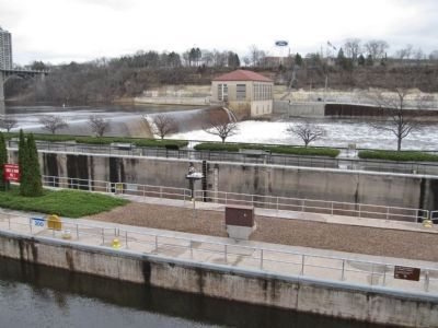
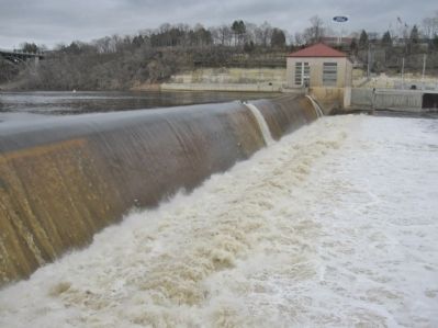
This is one of four turbines Ford Motor Company installed 1924 at the hydro electric plant located below this lookout. The turbines were replaced between 1992 and 1994 after 70 years of service. This one water driven turbine produced over 1,341,776,000 kilowatt hours (KWH) of electricity in its liftime. This offset the burning of 286,000 tons of coal and avoided 470,000 pounds of particulates, 4,589,000 pounds of sulphur dioxide and 5,340,000 pounds of nitrogen oxide.
Topics. This historical marker is listed in these topic lists: Environment • Industry & Commerce • Waterways & Vessels. A significant historical year for this entry is 1924.
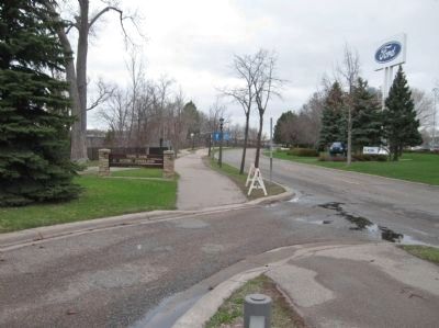
Location. 44° 54.876′ N, 93° 11.911′ W. Marker is in Saint Paul, Minnesota, in Ramsey County. It is in Highland Park. Marker is on South Mississippi River Boulevard, 0.2 miles south of Ford Parkway, on the right when traveling north. Marker is at Ford Dam Scenic Overlook. Touch for map. Marker is in this post office area: Saint Paul MN 55116, United States of America. Touch for directions.
Other nearby markers. At least 8 other markers are within walking distance of this marker. Engineering the Mississippi / Ford Motor Company (within shouting distance of this marker); Wing Dams (approx. 0.2 miles away); The Lock and Dam No. 1 Story (approx. 0.2 miles away); Big Water / Stairway of Water (approx. 0.2 miles away); Minneapolis Locks and Dams (approx. 0.4 miles away); 3 – Master Map (approx. half a mile away); 1–Main Entrance Minnehaha Lower Glen (approx. half a mile away); Geology of Minnesota (approx. half a mile away).
Also see . . . Lock and Dam No. 1. Wikipedia entry. (Submitted on August 26, 2011.)
Credits. This page was last revised on February 12, 2023. It was originally submitted on August 26, 2011, by Keith L of Wisconsin Rapids, Wisconsin. This page has been viewed 664 times since then and 16 times this year. Photos: 1, 2, 3, 4, 5, 6. submitted on August 26, 2011, by Keith L of Wisconsin Rapids, Wisconsin.
