St. Johns Bluff in Jacksonville in Duval County, Florida — The American South (South Atlantic)
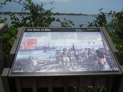
The River of May
Fort Caroline National Monument
| — | Timucuan Ecological and Historic Preserve | — |
Photographed by Craig Swain, July 31, 2011
1. The River of May Marker
Captain René de Laundonnière, 1564
Captain René de Laundonnière, on June 22, 1564, arrived in New France with his three ships and some 200 French Protestant noblemen, soldiers, and artisans, landing along the River of May (St. Johns River). The adventurous men and women brought their fears, hopes, and dreams. Would they survive in this strange land? Would they discover the riches they imagined? The colonists were hopeful.
The French found a site for their settlement on June 30th. Protected by a bluff commanding a river view, the spot offered fertile land, potable water, woodland fruits and building materials, and an abundance of fish. The French soldiers thought the ground defensible and its closeness to the sea afforded access for ships. Above all, the Timucuan natives seemed friendly and willing to help them in their new world.
Erected by National Park Service - U.S. Department of the Interior.
Topics. This historical
this page online
Location. 30° 23.194′ N, 81° 29.849′ W. Marker is in Jacksonville, Florida, in Duval County. It is in St. Johns Bluff. It is on Ft. Caroline Road, on the left when traveling east. Located at a river overlook on a short trail from the visitor center in Fort Caroline National Monument. Touch for map. Marker is in this post office area: Jacksonville FL 32225, United States of America. Touch for directions.

Regionally, this marker is in First Coast. It is also in the American South and on the Eastern Seaboard. Globally, it is in the North Atlantic Region, North America, a Gulf of Mexico state, the Western Hemisphere, the Western World, and the Anglosphere. Historically, it finds itself in what was once New Spain, the territory of the Mississippian Culture, one of the Confederate States of America, and the Antebellum South.
Other nearby markers. At least 8 other markers are within walking distance of this marker: Timucuan Friends (about 400 feet away, measured in a direct line); The Building of la Caroline
Photographed by Craig Swain, July 31, 2011
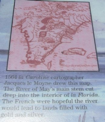
2. Map of Florida
1564 la Caroline cartographer Jacques le Moyne drew this map. The River of May's main stem cut deep into the interior of la Florida. The French were hopeful the river would lead to lands filled with gold and sliver.
Also see . . . Fort Caroline History. NPS website. (Submitted on August 26, 2011, by Craig Swain of Leesburg, Virginia.)
Photographed by Craig Swain, July 31, 2011
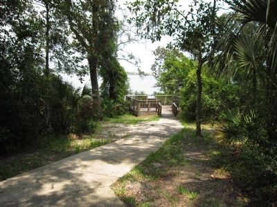
3. Overlook and Marker
Photographed by Craig Swain, July 31, 2011
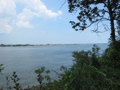
4. Rivière de Mai
The French named the river with the month of their first landing in mind - May. Later the Spanish renamed the river "San Juan del Puerto" which became "St. Johns River."
Credits. This page was last revised on February 3, 2023. It was originally submitted on August 26, 2011, by Craig Swain of Leesburg, Virginia. This page has been viewed 1,492 times since then and 51 times this year. Photos: 1, 2, 3, 4. submitted on August 26, 2011, by Craig Swain of Leesburg, Virginia.
