Phillips in Price County, Wisconsin — The American Midwest (Great Lakes)
Phillips Fire
Photographed by Keith L, September 15, 2011
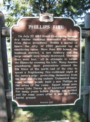
1. Phillips Fire Marker
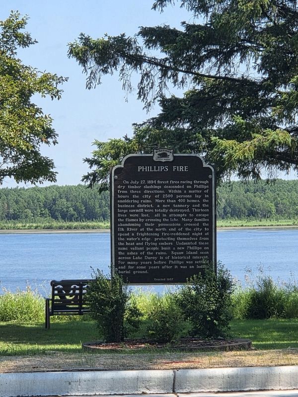
On July 27, 1894 forest fires racing through dry timber slashings descended on Phillips from three directions. Within a matter of hours the city of 2500 persons lay in smoldering ruins. More than 400 homes, the business district, a new tannery and the large sawmill were totally destroyed. Thirteen lives were lost, all in attempts to escape the flames by crossing the lake. Many families abandoning their possessions crossed the Elk River at the north end of the city to spend a frightening fire-reddened night at the water's edge, protecting themselves from the heat and flying embers. Undaunted these same valiant people built a new Phillips on the ashes of the ruins. Squaw Island seen across Lake Duroy is of historical interest. For many years before Phillips was settled and for some years after it was an Indian burial ground.
Erected 1957
Erected 1957 by Wisconsin Historical Society. (Marker Number 65.)
Topics and series. This historical marker is listed in these topic lists: Cemeteries & Burial Sites • Disasters • Indigenous Peoples and Communities. In addition, it is included in the Wisconsin Historical Society
this page online
Location. 45° 41.23′ N, 90° 23.623′ W. Marker is in Phillips, Wisconsin, in Price County. It is on South Lake Avenue (State Highway 13) north of Walnut Street, on the right when traveling north. Marker is next to the Phillips Area Chamber of Commerce. Touch for map. Marker is at or near this postal address: 305 South Lake Avenue, Phillips WI 54555, United States of America. Touch for directions.

Regionally, this marker is in Northern Wisconsin. It is also in the American Midwest and in the Corn Belt. Globally, it is in North America, the Great North Woods, the Western Hemisphere, the Western World, and the Anglosphere. Historically, it finds itself in what was once the territory of the Mississippian Culture and also the Northwest Territory.
Other nearby markers. At least 3 other markers are within 14 miles of this marker, measured as the crow flies: Phillips Veterans Memorial (a few steps from this marker); Lidice Memorial (approx. 0.8 miles away); Historic Fifield (approx. 13.3 miles away).
Also see . . .
1. Philips Wisconsin History. Phillips Chamber
Photographed by Greta Schassler, July 27, 2025
2. Phillips Fire Marker
2. Price Country Wisconsin - History. County Website entry (Submitted on February 3, 2021, by Larry Gertner of New York, New York.)
Photographed by Keith L, September 15, 2011
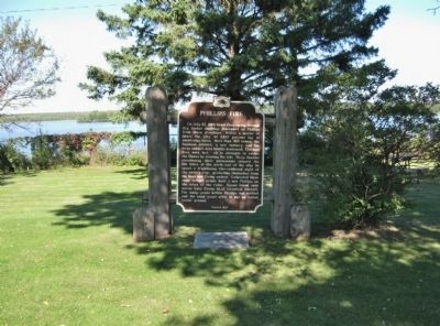
3. Phillips Fire Marker
Photographed by Keith L, September 15, 2011
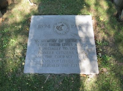
4. Tablet at Marker
Credits. This page was last revised on July 29, 2025. It was originally submitted on September 16, 2011, by Keith L of Wisconsin Rapids, Wisconsin. This page has been viewed 1,638 times since then and 181 times this year. Photos: 1. submitted on September 16, 2011, by Keith L of Wisconsin Rapids, Wisconsin. 2. submitted on July 27, 2025, by Greta Mulder of Milwaukee, Wisconsin. 3, 4. submitted on September 16, 2011, by Keith L of Wisconsin Rapids, Wisconsin.
