Near Sturbridge in Worcester County, Massachusetts — The American Northeast (New England)
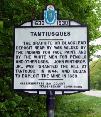
Tantiusques
1630 – 1930
Erected 1930 by Massachusetts Bay Colony-Tercentenary Commission.
Topics and series. This historical marker is listed in these topic lists: Colonial Era • Industry & Commerce • Native Americans • Settlements & Settlers. In addition, it is included in the Massachusetts Bay Colony—Tercentenary Commission Markers series list. A significant historical year for this entry is 1644.
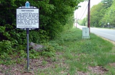
Location. 42° 2.921′ N, 72° 7.432′ W. Marker is near Sturbridge, Massachusetts, in Worcester County. Marker is at the intersection of Mashapaug Road (Massachusetts Route 15) and Leadmine Road, on the right when traveling south on Mashapaug Road. Touch for map. Marker is in this post office area: Sturbridge MA 01566, United States of America. Touch for directions.
Other nearby markers. At least 8 other markers are within 5 miles of this marker, measured as the crow flies. Holland (MA) War Memorial (approx. 2.2 miles away); Benjamin Church (approx. 2.3 miles away); From Rail to Trail (approx. 3.6 miles away); Welcome to the Pasture Walk (approx. 4.1 miles away); Freeman Farm (approx. 4.1 miles away); The Smokehouse (approx. 4.1 miles away); Today we see a different view. (approx. 4.1 miles away); An Open Landscape (approx. 4.1 miles away). Touch for a list and map of all markers in Sturbridge.
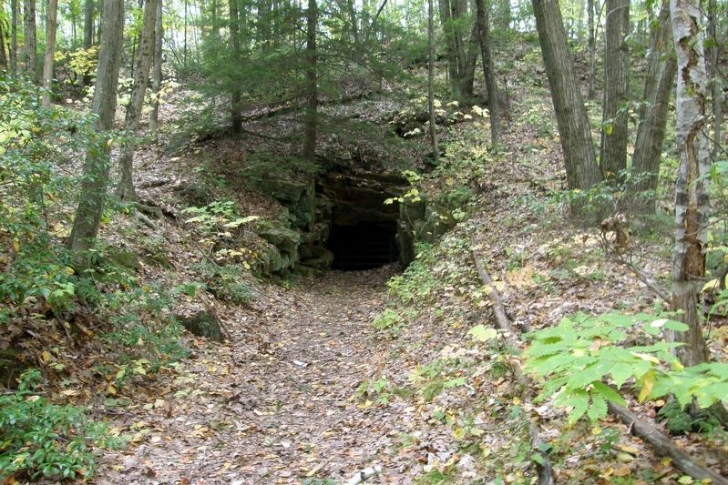
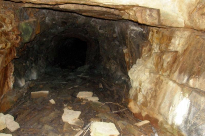
Regarding Tantiusques. The site of the abandoned graphite mine is not accessible by road, but the area can be explored by hiking a 1.5-mile loop trail (see links below).
Also see . . .
1. Hiking information. (Submitted on May 27, 2011, by Roger W. Sinnott of Chelmsford, Massachusetts.)
2. Tantiusques. Wikipedia entry. (Submitted on May 27, 2011, by Roger W. Sinnott of Chelmsford, Massachusetts.)
3. Tercentenary Commission. Original 1930 publication by the Commonwealth of Massachusetts Tercentenary Commission, commemorating the 300th anniversary of the Massachusetts Bay Colony. (Submitted on May 27, 2011, by Roger W. Sinnott of Chelmsford, Massachusetts.)
Credits. This page was last revised on April 27, 2020. It was originally submitted on May 27, 2011, by Roger W. Sinnott of Chelmsford, Massachusetts. This page has been viewed 1,130 times since then and 14 times this year. Last updated on October 9, 2011, by Michael Tiernan of Danvers, Massachusetts. Photos: 1, 2. submitted on May 27, 2011, by Roger W. Sinnott of Chelmsford, Massachusetts. 3, 4. submitted on April 26, 2020, by Larry Gertner of New York, New York. • Bill Pfingsten was the editor who published this page.


