New London in New London County, Connecticut — The American Northeast (New England)
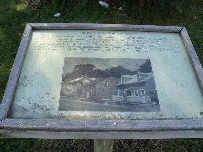
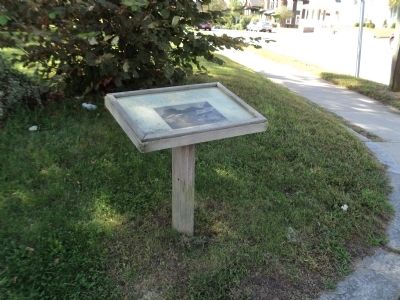
Hempstead Historic District
Free African Americans have lived and worked in this neighborhood since colonial times. In the 1840s both blacks and whites bought home (some still standing) through the efforts of abolitionist and developer, Savillion Haley. Travelers on the Underground Railroad were aided at the nearby Joshua Hempsted House (1678), an abolitionist home. The district has remained an integrated neighborhood with, among other institutions, the Shiloh Baptist Church on Garvin Street; a street named for 20th century civil rights leader, the Reverend Albert Garvin.
Topics. This historical marker is listed in these topic lists: Abolition & Underground RR • African Americans • Colonial Era • Settlements & Settlers.
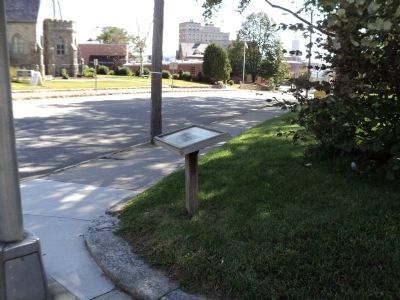
Location. 41° 21.427′ N, 72° 6.094′ W. Marker is in New London, Connecticut, in New London County. Marker is at the intersection of Broad Street and Hempstead Street, on the left when traveling west on Broad Street. Touch for map. Marker is in this post office area: New London CT 06320, United States of America. Touch for directions.
Other nearby markers. At least 8 other markers are within walking distance of this marker. Williams Memorial Park (a few steps from this marker); 21st Regt. Conn. Vol. (a few steps from this marker); City of New London (about 600 feet away, measured in a direct line); John Winthrop (about 600 feet away); State of Connecticut Superior Court (about 600 feet away); Jonathan Brooks Tomb 1786 (approx. 0.2 miles away); Courthouse and Library (approx. 0.2 miles away); New London War Dead (approx. 0.2 miles away). Touch for a list and map of all markers in New London.
Credits. This page was last revised on May 6, 2023. It was originally submitted on October 15, 2011, by Bill Coughlin of Woodland Park, New Jersey. This page has been viewed 618 times since then and 22 times this year. Photos: 1, 2, 3. submitted on October 15, 2011, by Bill Coughlin of Woodland Park, New Jersey.


