Staunton, Virginia — The American South (Mid-Atlantic)
Great Indian Warrior Trading Path
(The Great Philadelphia Wagon Road)
Topics. This historical marker is listed in these topic lists: Colonial Era • Native Americans. A significant historical year for this entry is 1685.
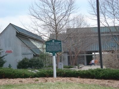
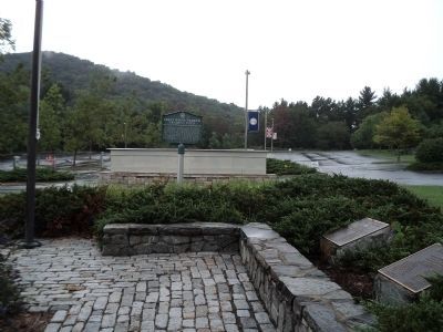
Location. 38° 7.526′ N, 79° 3.019′ W. Marker is in Staunton, Virginia. Marker can be reached from Frontier Drive (Virginia Route 644) 0.3 miles south of Red Oaks Drive, on the right when traveling north. The marker is located in the parking lot of the Frontier Culture Museum. Touch for map. Marker is at or near this postal address: 1290 Richmond Rd, Staunton VA 24401, United States of America. Touch for directions.
Other nearby markers. At least 8 other markers are within one mile of this marker, measured as the crow flies. Frontier Culture Museum (within shouting distance of this marker); The Great Road (within shouting distance of this marker); The Barger House (approx. 0.4 miles away); Avenue of Trees (approx. ¾ mile away); First Settler's Grave (approx. ¾ mile away); A National Cemetery System (approx. one mile away); Staunton National Cemetery (approx. one mile away); Address by President Lincoln (approx. one mile away). Touch for a list and map of all markers in Staunton.
Credits. This page was last revised on April 10, 2021. It was originally submitted on October 18, 2011, by Roger Dean Meyer of Yankton, South Dakota. This page has been viewed 801 times since then and 28 times this year. Photos: 1. submitted on April 10, 2021, by Devry Becker Jones of Washington, District of Columbia. 2. submitted on October 18, 2011, by Roger Dean Meyer of Yankton, South Dakota. 3. submitted on August 26, 2012, by Bill Coughlin of Woodland Park, New Jersey.


