Bernardston in Franklin County, Massachusetts — The American Northeast (New England)
Deacon Ebenezer Sheldon's Fort
1630 - 1930
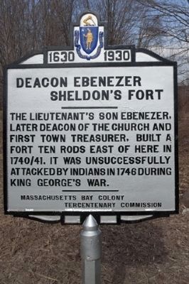
Photographed by Russell C. Bixby, March 27, 2012
1. Deacon Ebenezer Sheldon's Fort , Huckle Hill Road (North)
Erected 1930 by Massachusetts Bay Colony-Tercentenary Commission.
Topics and series. This historical marker is listed in these topic lists: Colonial Era • War, French and Indian. In addition, it is included in the Massachusetts Bay Colony—Tercentenary Commission Markers series list. A significant historical year for this entry is 1746.
Location. 42° 41.801′ N, 72° 31.603′ W. Marker is in Bernardston, Massachusetts, in Franklin County. It is on Huckle Hill Road close to West Road, on the right when traveling north. Touch for map. Marker is in this post office area: Bernardston MA 01337, United States of America. Touch for directions.

Regionally, this marker is in Pioneer Valley. It is also in the American Northeast and in New England. Globally, it is in North America, the Western Hemisphere, the Western World, and the Anglosphere. Historically, it finds itself in what was once one of the original Thirteen Colonies.
Other nearby markers. At least 8 other markers are within 4 miles of this marker, measured as the crow flies: Burke Fort (approx. 1.2 miles away); Lieut. Ebenezer Sheldon's Fort (approx. 1.9 miles away); Connable Fort (approx. 2.2 miles away); Bernardston Veterans Monument (approx. 2.2 miles away); King Philip's Hill (approx. 2.7 miles away); Vermont (approx. 3.3 miles away in Vermont); First Settlement (approx. 3½ miles away); Pond Road Chapel (approx. 3.6 miles away in Vermont). Touch for a list and map of all markers in Bernardston.
Also see . . . Tercentenary Commission. Original 1930 publication by the Commonwealth of Massachusetts of Tercentenary
this page online
Additional commentary.
1. The Line of Forts
This marker was placed at the site of one the forts established by Governor William Shirley, along the northern border of Massachusetts, as a defense against the French and their Indian allies. Construction of these forts or fortified houses immediately preceded the French & Indian War (1754-1763).
These frontier fortifications of the Massachusetts Bay Colony were the subject of a 2006 publication titled The Line of Forts (Historical Archaeology on the Colonial Frontier of Massachusetts) by Michael D. Coe
— Submitted May 23, 2011, by Russell Chaffee Bixby of Bernardston, Massachusetts.
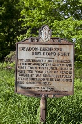
Photographed by Russell C. Bixby, May 20, 2011
2. Deacon Ebenezer Sheldon's Fort Marker
The marker prior to its restoration.
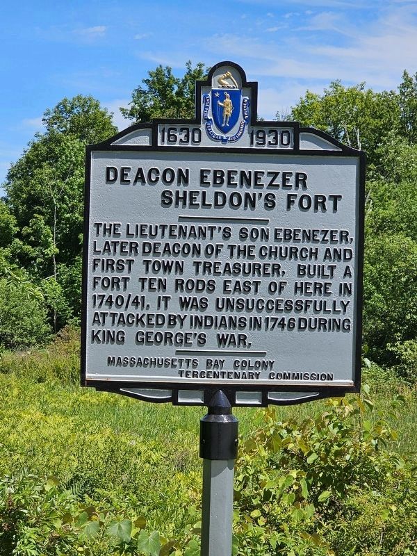
Photographed by Russell Chaffee Bixby, July 18, 2025
3. Deacon Ebenezer Sheldon's Fort Marker
Photographed by Russell C. Bixby, July 18, 2025
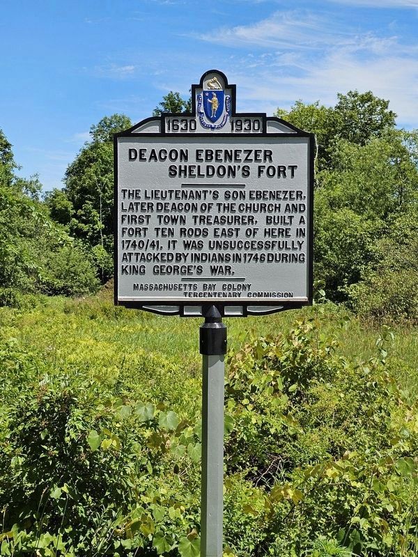
Photographed by Russell Chaffee Bixby, July 18, 2025
4. Deacon Ebenezer Sheldon's Fort Marker
Photographed by Russell C. Bixby, 7-15-2025
Credits. This page was last revised on July 22, 2025. It was originally submitted on May 20, 2011, by Russell Chaffee Bixby of Bernardston, Massachusetts. This page has been viewed 2,407 times since then and 119 times this year. Last updated on October 26, 2011, by Russell Chaffee Bixby of Bernardston, Massachusetts. Photos: 1. submitted on July 27, 2012, by Russell Chaffee Bixby of Bernardston, Massachusetts. 2. submitted on May 20, 2011, by Russell Chaffee Bixby of Bernardston, Massachusetts. 3, 4. submitted on July 18, 2025, by Russell Chaffee Bixby of Bernardston, Massachusetts. • Bill Pfingsten was the editor who published this page.
