Ligonier in Westmoreland County, Pennsylvania — The American Northeast (Mid-Atlantic)
Road Versus Rail
Lincoln Highway Heritage Corridor
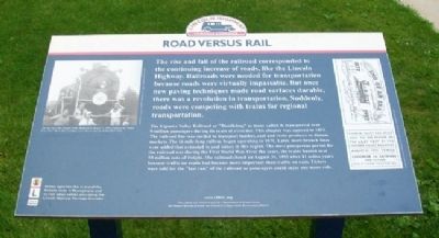
The rise and fall of the railroad corresponded to the continuing increase of roads, like the Lincoln Highway. Railroads were needed for transportation because roads were virtually impassable. But once new paving techniques made road surfaces durable, there was a revolution in transportation. Suddenly, roads were competing with trains for regional transportation.
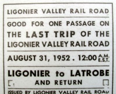
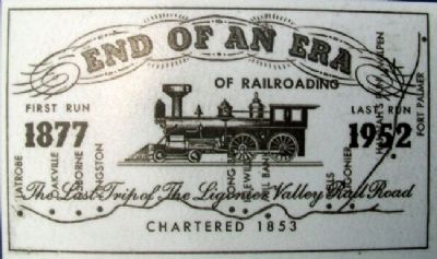
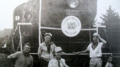
The Ligonier Valley Railroad or "Doodlebug" as many called it, transported over 9 million passengers during its years of existence. This chapter was acquired in 1853. The railroad line was needed to transport lumber, coal and stone products to distant markets. The 16 mile-long railway began operating in 1871. Later, more branch lines were added that extended to coal mines in this region. The most prosperous period for the railroad was during the First World War. Over the years, the trains hauled over 59 million tons of freight. The railroad closed on August 31, 1952 after 81 active years because traffic on roads had become more important than traffic on rails. Tickets were sold for the "last run" of the railroad so passengers could enjoy one more ride.
Erected by Lincoln Highway Heritage Corridor.
Topics and series. This historical marker is listed in these topic lists: Industry & Commerce • Man-Made Features • Railroads & Streetcars • Roads & Vehicles. In addition, it is included in the Lincoln Highway series list. A significant historical year for this entry is 1853.
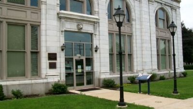
Location. 40° 14.781′ N, 79° 14.595′ W. Marker is in Ligonier, Pennsylvania, in Westmoreland County. Marker is at the intersection of Main Street and Walnut Street, on the left when traveling west on Main Street. Touch for map. Marker is at or near this postal address: 339 West Main Street, Ligonier PA 15658, United States of America. Touch for directions.
Other nearby markers. At least 8 other markers are within walking distance of this marker. Ligonier Depot (here, next to this marker); Welcome to Holy Trinity Parish (within shouting distance of this marker); In Memory of Richard Beatty Mellon (within shouting distance of this marker); Roadside Enterprise (approx. ¼ mile away); Highway Enterprise (approx. 0.3 miles away); Ligonier War Memorial (approx. 0.3 miles away); Ligonier Town Square Fountain (approx. 0.4 miles away); Fort Ligonier (approx. 0.4 miles away). Touch for a list and map of all markers in Ligonier.
Also see . . .
1. Brief History of the Ligonier Valley Railroad. Ligonier Valley Rail Road Association website entry (Submitted on November 6, 2011, by William Fischer, Jr. of Scranton, Pennsylvania.)
2. The Lincoln Highway: An Introduction. Website homepage (Submitted on November 6, 2011, by William Fischer, Jr. of Scranton, Pennsylvania.)
3. Lincoln Highway Heritage Corridor. Website homepage (Submitted on November 6, 2011, by William Fischer, Jr. of Scranton, Pennsylvania.)
Credits. This page was last revised on May 23, 2022. It was originally submitted on November 6, 2011, by William Fischer, Jr. of Scranton, Pennsylvania. This page has been viewed 608 times since then and 15 times this year. Photos: 1, 2, 3, 4, 5. submitted on November 6, 2011, by William Fischer, Jr. of Scranton, Pennsylvania.
