Buena Vista, Virginia — The American South (Mid-Atlantic)
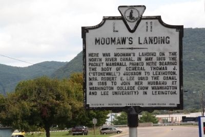
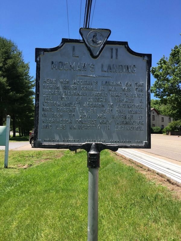
Moomaw’s Landing
Erected 1969 by Virginia Historic Landmarks Commission. (Marker Number L-11.)
Topics and series. This historical marker is listed in these topic lists: War, US Civil • Waterways & Vessels. In addition, it is included in the Virginia Department of Historic Resources (DHR) series list. A significant historical month for this entry is May 1863.
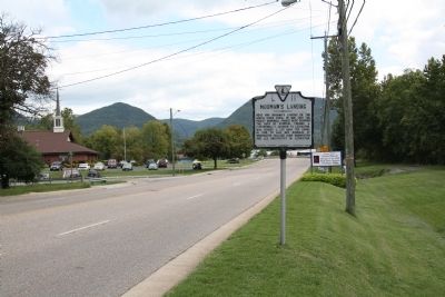
Location. 37° 44.565′ N, 79° 21.677′ W. Marker is in Buena Vista, Virginia. Marker is on West 29th Street (U.S. 60) west of Culvert Street (County Route 631), on the left when traveling west. Touch for map. Marker is in this post office area: Buena Vista VA 24416, United States of America. Touch for directions.
Other nearby markers. At least 8 other markers are within 5 miles of this marker, measured as the crow flies. Charlie Manuel (here, next to this marker); Old Court House (approx. 0.7 miles away); Veterans Memorial (approx. ¾ mile away); Amherst County / Rockbridge County (approx. 3.3 miles away); Constitution Forest (approx. 3.3 miles away); Stonewall Jackson House (approx. 3.8 miles away); Original African American Cemetery (approx. 4.9 miles away); Lylburn Downing School (approx. 5 miles away). Touch for a list and map of all markers in Buena Vista.
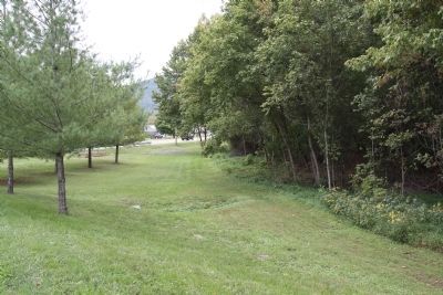
Regarding Moomaw’s Landing. The present-day Maury River was known as the North River until the 1960s.
Credits. This page was last revised on October 3, 2021. It was originally submitted on December 10, 2011, by J. J. Prats of Powell, Ohio. This page has been viewed 1,330 times since then and 37 times this year. Photos: 1. submitted on December 10, 2011, by J. J. Prats of Powell, Ohio. 2. submitted on June 29, 2016, by Brandon D Cross of Flagler Beach, Florida. 3, 4. submitted on December 10, 2011, by J. J. Prats of Powell, Ohio.


