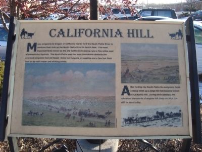
California Hill
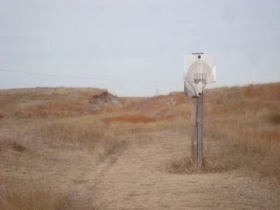
After fording the South Platte the emigrants face a steep climb up a large hill that became known as California Hill. During their passage, the wheels of thousands of wagons left deep ruts that can still be seen today.
Erected by Ogallala/Keith County Chamber of Commerce. (Marker Number 7.)
Topics and series. This historical marker is listed in these topic lists: Roads & Vehicles • Settlements & Settlers. In addition, it is included in the Oregon Trail series list.
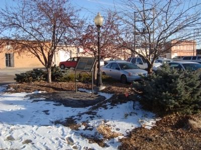
Location. 41° 7.527′ N, 101° 43.212′ W. Marker is in Ogallala, Nebraska, in Keith County. Marker is on West Second Street. This marker is located on the south side of West Second Street between North Spruce and West A Streets. This is marker no. 7 of the Historic Walk of Fame in Ogallala, NE. Touch for map
Other nearby markers. At least 8 other markers are within walking distance of this marker. The Union Pacific (within shouting distance of this marker); The Mormon Trail (within shouting distance of this marker); Highways 26 and 92 (within shouting distance of this marker); The Pony Express (within shouting distance of this marker); Interstate 80 (about 300 feet away, measured in a direct line); The Lincoln Highway (about 300 feet away); Standard Oil Gas Station (about 400 feet away); End of the Texas Trail (about 500 feet away). Touch for a list and map of all markers in Ogallala.
Credits. This page was last revised on November 4, 2020. It was originally submitted on December 20, 2011, by Barry Swackhamer of Brentwood, California. This page has been viewed 996 times since then and 16 times this year. Photos: 1, 2, 3. submitted on December 20, 2011, by Barry Swackhamer of Brentwood, California. • Bill Pfingsten was the editor who published this page.


