Columbia in Lancaster County, Pennsylvania — The American Northeast (Mid-Atlantic)
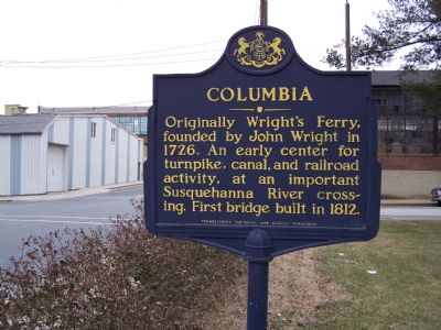
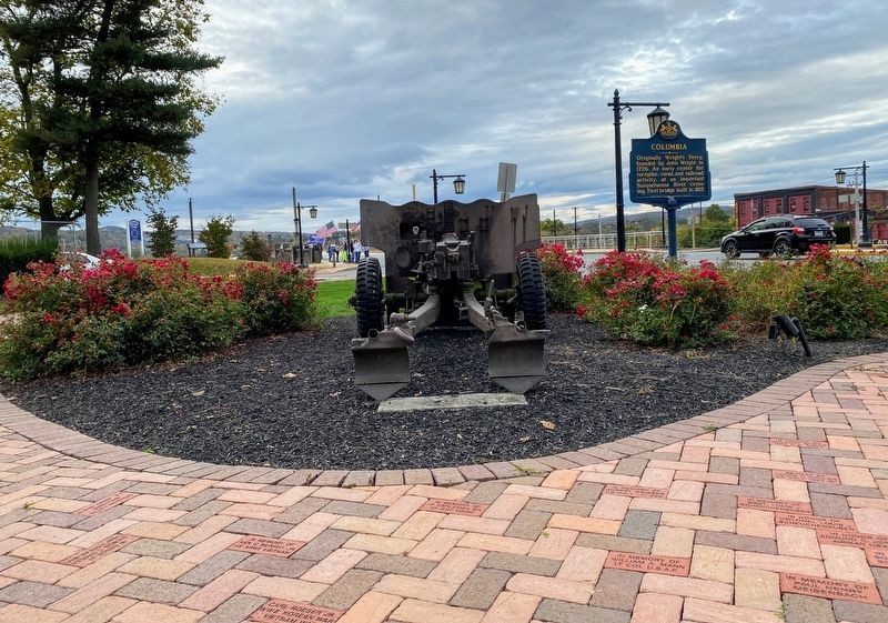
Columbia
Erected 1947 by Pennsylvania Historical and Museum Commission.
Topics and series. This historical marker is listed in these topic lists: Bridges & Viaducts • Colonial Era • Railroads & Streetcars • Roads & Vehicles • Waterways & Vessels. In addition, it is included in the Pennsylvania Historical and Museum Commission series list. A significant historical year for this entry is 1726.
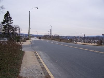
Location. 40° 1.969′ N, 76° 30.366′ W. Marker is in Columbia, Pennsylvania, in Lancaster County. Marker is at the intersection of Lincoln Highway (Pennsylvania Route 462) and N. Second Street, on the right when traveling east on Lincoln Highway. Touch for map. Marker is in this post office area: Columbia PA 17512, United States of America. Touch for directions.
Other nearby markers. At least 8 other markers are within walking distance of this marker. Lincoln Highway (a few steps from this marker); Railroads During the Civil War (within shouting distance of this marker); a different marker also named Columbia (within shouting distance of this marker); Lloyd Mifflin House (about 400 feet away, measured in a direct line); John Houston Mifflin Homestead (about 400 feet away); Shannon Armory (about 500 feet away); First English Evangelical Church (about 700 feet away); Pennsylvania Railroad Passenger Station (about 700 feet away). Touch for a list and map of all markers in Columbia.
Credits. This page was last revised on June 22, 2021. It was originally submitted on January 30, 2008, by Bill Pfingsten of Bel Air, Maryland. This page has been viewed 1,408 times since then and 19 times this year. Photos: 1. submitted on January 30, 2008, by Bill Pfingsten of Bel Air, Maryland. 2. submitted on June 10, 2021, by Shane Oliver of Richmond, Virginia. 3. submitted on January 30, 2008, by Bill Pfingsten of Bel Air, Maryland. 4. submitted on March 28, 2012, by Dianne Bowders of York, Pennsylvania.


