Loma Linda in San Bernardino County, California — The American West (Pacific Coastal)
Guachama Rancheria
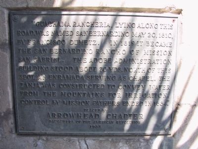
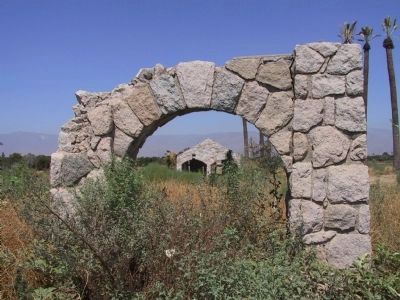
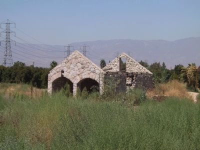
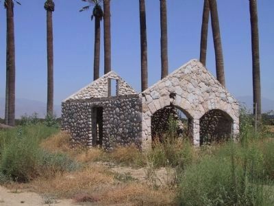
"Guachama Rancheria, lying along this road, was named San Bernardino May 20, 1810, by Francisco Dumetz. In 1819 it became the San Bernardino Rancho of Mission San Gabriel. The adobe administration building stood about 70 yds. north of this spot, an enramada serving as chapel. The Zanja was constructed to convey water from the mountains for irrigation. Control by mission fathers ended in 1834."
Placed by Arrowhead Chapter Daughters of the American Revolution, 1932.
replacement marker:
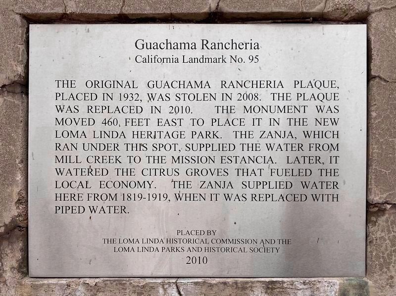
Guachama Rancheria.
California Landmark No. 95.
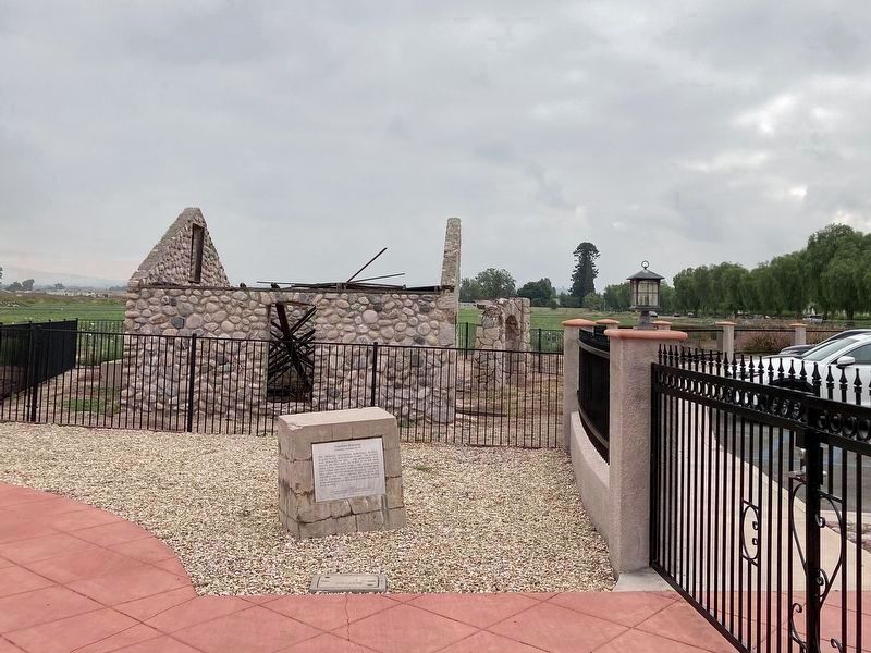
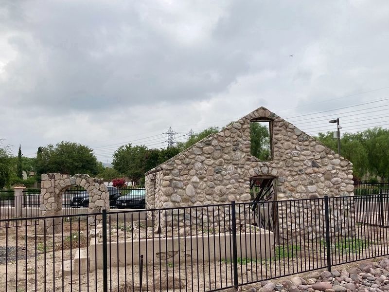
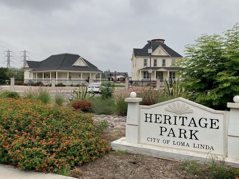
The original Guachama Rancheria plaque, placed in 1932, was stolen in 2008. The plaque was replaced in 2010. The monument was moved 460 feet east to place it in the new Loma Linda Heritage Park. The Zanja, which ran under this spot, supplied the water from Mill Creek to the Mission Estancia. Later, it watered the citrus groves that fueled the local economy. The Zanja supplied water here from 1819-1919, when it was replaced with piped water.
Placed by the Loma Linda Historical Commission and the Loma Linda Parks and Historical Society, 2010.
Erected 1932 by Arrowhead Chapter Daughters of the American Revolution; Loma Linda Historical Commission, and Loma Linda Parks and Historical Society. (Marker Number 95.)
Topics and series. This historical marker is listed in these topic lists: Agriculture • Hispanic Americans • Notable Places • Settlements & Settlers. In addition, it is included in the California Historical Landmarks, and the Daughters of the American Revolution series lists. A significant historical date for this entry is May 20, 1839.
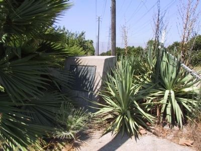
Location. 34° 3.387′ N, 117° 14.272′ W. Marker is in Loma Linda, California, in San Bernardino County. Marker is on Mission Road, 0.4 miles east of Mountain View Avenue, on the left when traveling east. Touch for map. Marker is at or near this postal address: 25894 Mission Rd, Loma Linda CA 92354, United States of America. Touch for directions.
Other nearby markers. At least 8 other markers are within 5 miles of this marker, measured as the crow flies. Fort Benson (approx. 2.9 miles away); A.K. Smiley Public Library (approx. 3.1 miles away); William McKinley (approx. 3.1 miles away); Lincoln Memorial Shrine (approx. 3.1 miles away); First Lugonia School (approx. 3.8 miles away); Kimberly Crest (approx. 3.9 miles away); Mill Creek Zanja (approx. 4 miles away); 60th Anniversary of the CCC (approx. 4˝ miles away).
Regarding Guachama Rancheria. The original plaque and its original text was adopted as California Historical Landmark No. 95 in 1933.
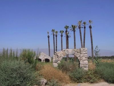
Heritage Park has a collection of four historic homes relocated here to preserve them. A museum will eventually be opened. Until then, the buildings are temporarily being used as private offices, not open to the public.
Credits. This page was last revised on April 20, 2024. It was originally submitted on December 28, 2011, by Michael Kindig of Elk Grove, California. This page has been viewed 1,441 times since then and 70 times this year. Photos: 1. submitted on December 28, 2011, by Michael Kindig of Elk Grove, California. 2. submitted on September 18, 2023, by Craig Baker of Sylmar, California. 3. submitted on December 28, 2011, by Michael Kindig of Elk Grove, California. 4, 5, 6, 7. submitted on January 2, 2012, by Michael Kindig of Elk Grove, California. 8, 9, 10. submitted on September 18, 2023, by Craig Baker of Sylmar, California. • Syd Whittle was the editor who published this page.
