Lewisville in Forsyth County, North Carolina — The American South (South Atlantic)
Shallow Ford
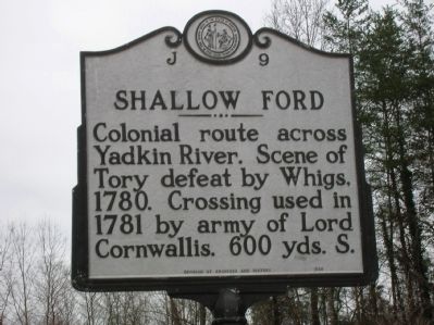
Photographed by Michael C. Wilcox, January 22, 2012
1. Shallow Ford Marker
Erected 1988 by NC Division of Archives and History. (Marker Number J-9.)
Topics and series. This historical marker is listed in these topic lists: Colonial Era • Roads & Vehicles • War, US Revolutionary. In addition, it is included in the North Carolina Division of Archives and History series list. A significant historical year for this entry is 1780.
Location. 36° 5.554′ N, 80° 30.81′ W. Marker is in Lewisville, North Carolina, in Forsyth County. It is on Shallowford Road, on the right when traveling east. Touch for map. Marker is in this post office area: Lewisville NC 27023, United States of America. Touch for directions.

Regionally, this marker is in North Carolina’s Piedmont and specifically in Piedmont Triad. It is also in the American South and specifically in the Upper South. Globally, it is in North America, the Western Hemisphere, the Western World, and the Anglosphere. Historically, it finds itself in what was once the territory of the Mississippian
this page online
Other nearby markers. At least 8 other markers are within 5 miles of this marker, measured as the crow flies: Stoneman's Raid (about 300 feet away, measured in a direct line); Historic Huntsville Methodist Church (approx. 1.1 miles away); Jones Grocery Store (approx. 1.4 miles away); Concord United Methodist Church (approx. 4.4 miles away); New Hope AME Zion Church (approx. 4½ miles away); Site of Sunny Acres (approx. 4.8 miles away); Charles L. Spaugh House (approx. 4.8 miles away); Methodist Church Parsonage (approx. 5 miles away). Touch for a list and map of all markers in Lewisville.
Another marker is no longer nearby. Raiding Huntsville (was approx. 1.1 miles away but has been permanently removed).
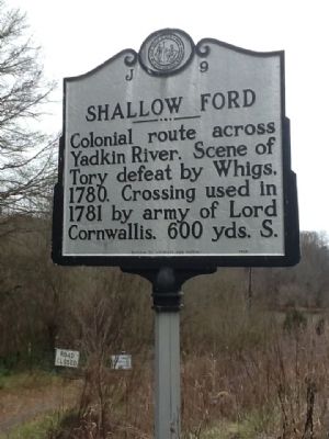
Photographed by Michael C. Wilcox, January 22, 2012
2. Shallow Ford Marker
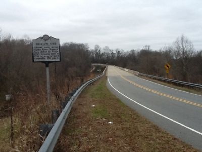
Photographed by Michael C. Wilcox, January 22, 2012
3. Shallow Ford Marker
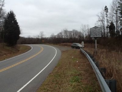
Photographed by Michael C. Wilcox, January 22, 2012
4. Shallow Ford Marker
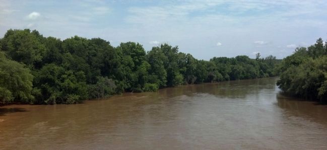
Photographed by Michael C. Wilcox
5. Shallow Ford - Yadkin River
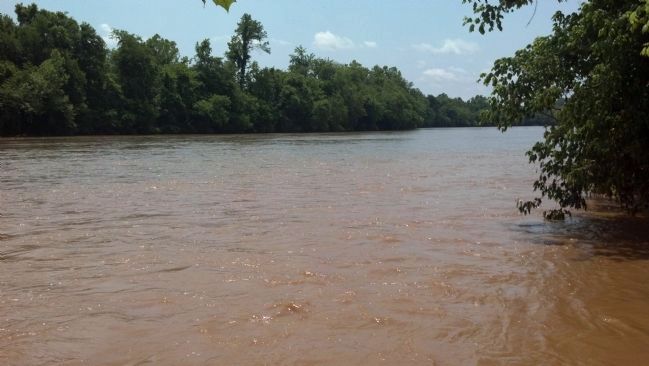
Photographed by Michael C. Wilcox
6. Shallow Ford - Yadkin River
Credits. This page was last revised on June 29, 2021. It was originally submitted on January 22, 2012, by Michael C. Wilcox of Winston-Salem, North Carolina. This page has been viewed 1,887 times since then and 120 times this year. Photos: 1, 2, 3, 4. submitted on January 22, 2012, by Michael C. Wilcox of Winston-Salem, North Carolina. 5, 6. submitted on May 22, 2012, by Michael C. Wilcox of Winston-Salem, North Carolina. • Craig Swain was the editor who published this page.
