Alanreed in Gray County, Texas — The American South (West South Central)
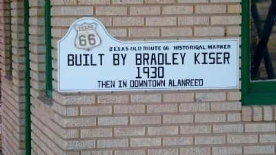
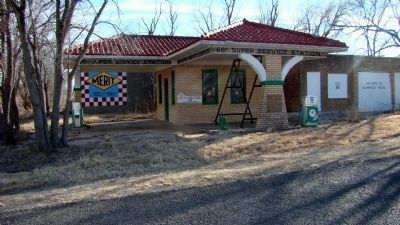
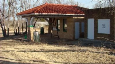
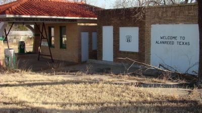
66 Super Service Station
Photographed by Ricky D. Smith, February 27, 2008
1. 66 Super Service Station Marker
Built by Bradley Kiser
1930
then in downtown Alanreed
Topics and series. This historical marker is listed in these topic lists: Man-Made Features • Roads & Vehicles. In addition, it is included in the U.S. Route 66 series list. A significant historical year for this entry is 1930.
Location. 35° 12.738′ N, 100° 44.068′ W. Marker is in Alanreed, Texas, in Gray County. It is at the intersection of 3rd Avenue and Main Street, on the right when traveling east on 3rd Avenue. Touch for map. Marker is in this post office area: McLean TX 79057, United States of America. Touch for directions.

Regionally, this marker is on the Texas Panhandle. It is also on the American Great Plains and specifically on the Southern Plains. Globally, it is in North America, a Gulf of Mexico state, the Western Hemisphere, the Western World, and the Anglosphere. Historically, it finds itself in what was once New Spain, the Comanchería, the Dust Bowl, the Republic of Texas, and one of the Confederate States of America.
Other nearby markers. At least 8 other markers are within 6 miles of this
this page online
Photographed by Ricky D. Smith, February 27, 2008
2. 66 Super Service Station and Marker
Photographed by Ricky D. Smith, February 27, 2008
3. 66 Super Service Station and Marker
Photographed by Ricky D. Smith, February 27, 2008
4. 66 Super Service Station and Marker
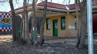
Photographed by Ricky D. Smith, February 27, 2008
5. 66 Super Service Station and Marker
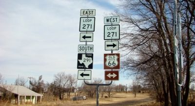
Photographed by Ricky D. Smith, February 27, 2008
6. Road signs next to 66 Super Service Station
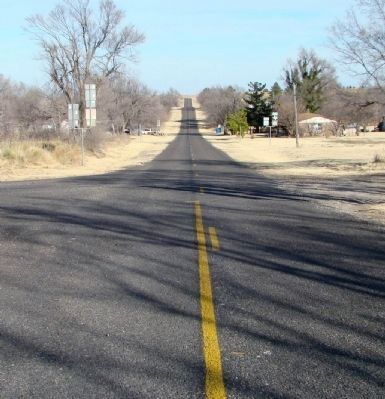
Photographed by Ricky D. Smith, February 27, 2008
7. Texas Old Highway 66 at 66 Super Service Station
Credits. This page was last revised on November 10, 2020. It was originally submitted on March 13, 2011, by Ricky D. Smith of Amarillo, Texas. This page has been viewed 1,710 times since then and 40 times this year. Last updated on January 30, 2012, by Michael Kindig of Elk Grove, California. Photos: 1, 2, 3, 4, 5, 6, 7. submitted on March 13, 2011, by Ricky D. Smith of Amarillo, Texas. • Kevin W. was the editor who published this page.
