Columbia in Richland County, South Carolina — The American South (South Atlantic)
William Earle Berne Beltway
Photographed by Anna Inbody, January 15, 2012
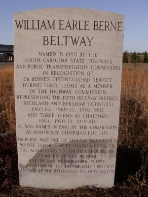
1. William Earle Berne Beltway Marker
Named in 1980 by the South Carolina State Highways and Public Transportation Commission in recognition of Dr. Berne’s distinguished service during three terms as a member of the Highway Commission representing the Fifth Highway District (Richland and Kershaw Counties) 1960 ~ 64, 1968 ~ 72, 1976 ~ 1980, And three terms as Chairman, 1964, 1970 ~ 71, 1979 ~ 80. He was named in 1980 by the Commission as Honorary Chairman for life.
Dr. Berne was one of several individuals whose efforts were instrumental in the allocation to South Carolina of 75 miles of I-77 in 1968 and in the designation in 1976 of a portion of the Southeastern Beltway as part of the Interstate Highway System.
Topics. This historical marker is listed in these topic lists: Man-Made Features • Roads & Vehicles. A significant historical year for this entry is 1980.
Location. 33° 57.085′ N, 80° 58.195′ W. Marker is in Columbia, South Carolina, in Richland County. It is at the intersection of William Earle Berne Beltway (Interstate 77 at milepost 6) and Shop Road, on the right when traveling south on William Earle Berne Beltway. Located in the cloverleaf of
this page online

Regionally, this marker is in the Midlands. It is also in the American South and specifically in the Deep South. Globally, it is in North America, the Western Hemisphere, the Western World, and the Anglosphere. Historically, it finds itself in what was once the territory of the Mississippian Culture, one of the original Thirteen Colonies, one of the Confederate States of America, and the Antebellum South.
Other nearby markers. At least 8 other markers are within 4 miles of this marker, measured as the crow flies: Bible Way Church of Atlas Road (approx. ¾ mile away); African-American Heroes of the 371st Regiment (approx. one mile away); Brown Chapel A.M.E. Church (approx. 2 miles away); Woodlands and Millwood (approx. 2.3 miles away); Curtiss-Wright Hangar (approx. 2½ miles away); Camp Jackson (approx. 2.6 miles away); The "Columbiad" Cannon (approx. 3 miles away); George Rogers (approx. 3.3 miles away). Touch for a list and map of all markers in Columbia.
Photographed by Anna Inbody, January 15, 2012
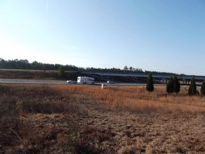
2. Overview from the exit ramp
Photographed by Anna Inbody, January 15, 2012
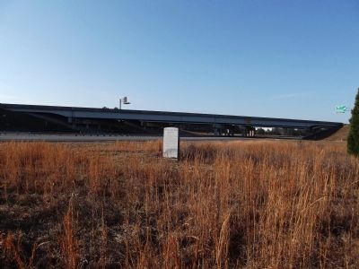
3. Overview
Credits. This page was last revised on April 17, 2022. It was originally submitted on February 1, 2012, by Anna Inbody of Columbia, South Carolina. This page has been viewed 1,470 times since then and 70 times this year. Photos: 1, 2, 3. submitted on February 1, 2012, by Anna Inbody of Columbia, South Carolina. • Craig Swain was the editor who published this page.
