Mannford in Tulsa County, Oklahoma — The American South (West South Central)
Battle of Round Mountain
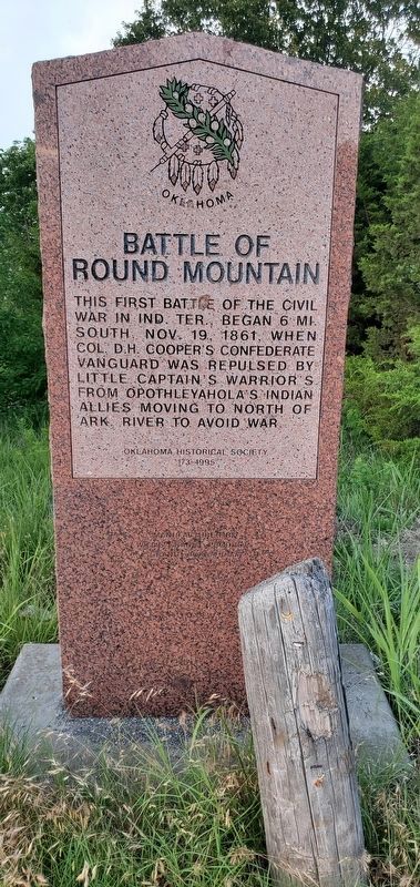
Photographed by Andrew Foreman, June 9, 2023
1. Battle of Round Mountain Marker
Erected 1995 by Oklahoma Historical Society. (Marker Number 173.)
Topics and series. This historical marker is listed in these topic lists: Indigenous Peoples and Communities • War, US Civil. In addition, it is included in the Oklahoma Historical Society series list. A significant historical month for this entry is October 2006.
Location. 36° 7.802′ N, 96° 17.218′ W. Marker is in Mannford, Oklahoma, in Tulsa County. It is on Tower Road near SR 51 and Tower Road, on the left when traveling south. Touch for map. Marker is at or near this postal address: 2404 S 265th W Ave, Mannford OK 74044, United States of America. Touch for directions.

Regionally, this marker is in the Muscogee Nation, specifically in the Cherokee Nation, in Northeast Oklahoma—Green Country, and in Greater Tulsa. It is also in the American South, specifically on the prairies, and on the Southern Plains. Globally, it is in North America, the Western Hemisphere, the Western World, and the Anglosphere. Historically, it finds itself in what was once the territory of the Mississippian Culture and also the Louisiana Purchase.
Other nearby markers. At least 8 other markers are within 17 miles of this marker, measured as the crow flies: Outlaw's Hideout (approx. 4.1 miles away); Original Townsite of Mannford (approx. 6.4 miles away); Charles Page (approx. 9.9 miles away); The Springs of Sand Springs (approx. 10½ miles away); Rock Creek Bridge (approx. 12.7 miles away); Earle Berryhill Building (approx. 13.3 miles away); Sapulpa (approx. 14.3 miles away); Cleveland (approx.
this page online
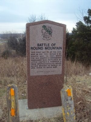
Photographed by Michael Manning, 2011
2. Battle of Round Mountain Marker
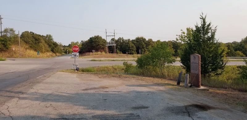
Photographed by James Hulse, September 12, 2021
3. The view of the Battle of Round Mountain Marker from the road
Credits. This page was last revised on June 13, 2023. It was originally submitted on February 5, 2012, by Michael Manning of Woodlawn, Tennessee. This page has been viewed 2,081 times since then and 141 times this year. Last updated on February 5, 2012, by Michael Manning of Woodlawn, Tennessee. Photos: 1. submitted on June 12, 2023, by Andrew Foreman of Broken Arrow, Oklahoma. 2. submitted on February 5, 2012, by Michael Manning of Woodlawn, Tennessee. 3. submitted on September 13, 2021, by James Hulse of Medina, Texas. • Craig Swain was the editor who published this page.
