Eastham in Barnstable County, Massachusetts — The American Northeast (New England)
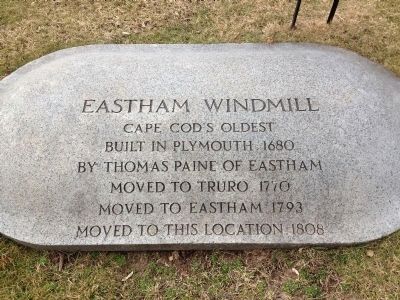
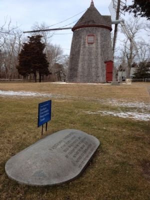
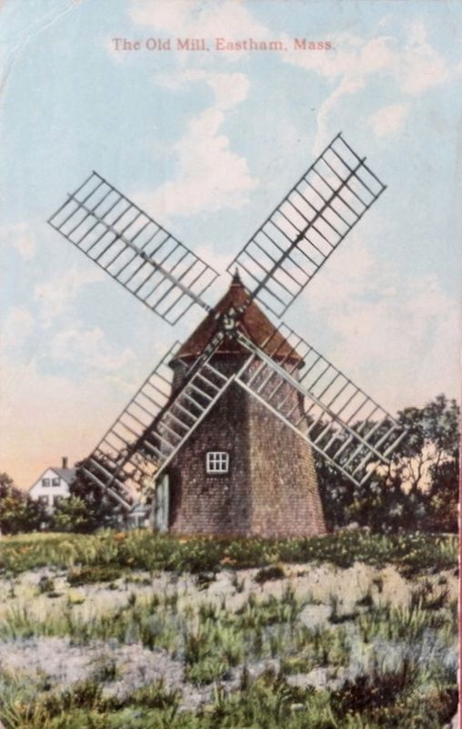
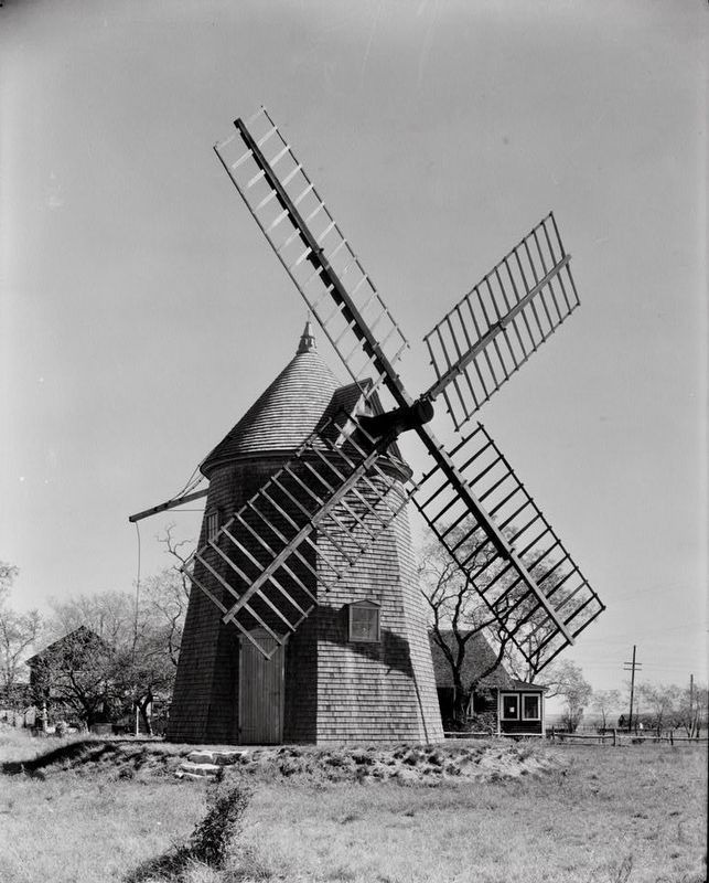
Eastham Windmill
Cape Cod's Oldest
Topics. This historical marker is listed in these topic lists: Agriculture • Colonial Era • Industry & Commerce. A significant historical year for this entry is 1680.
Location. 41° 49.817′ N, 69° 58.48′ W. Marker is in Eastham, Massachusetts, in Barnstable County. Marker is on Samoset Road just west of Mid Cape Highway (U.S. 6), on the right when traveling west. Touch for map. Marker is in this post office area: Eastham MA 02642, United States of America. Touch for directions.
Other nearby markers. At least 8 other markers are within walking distance of this marker. First Encounter (about 300 feet away, measured in a direct line); Eastham Town Hall (about 300 feet away); Bridge Road Cemetery (approx. 0.4 miles away); Kettles (approx. half a mile away); Workboat of the Marshes (approx. half a mile away); Eastham Remembers (approx. 0.6 miles away); Port de Mallebarre (approx. 0.8 miles away); Indian Rock (approx. 0.8 miles away). Touch for a list and map of all markers in Eastham.
Also see . . . Eastham Windmill - Wikipedia. (Submitted on February 16, 2012, by Bill Pfingsten of Bel Air, Maryland.)
Credits. This page was last revised on September 30, 2020. It was originally submitted on February 15, 2012, by Rod Funston of Eastham, Massachusetts. This page has been viewed 1,035 times since then and 15 times this year. Photos: 1, 2. submitted on February 15, 2012, by Rod Funston of Eastham, Massachusetts. 3, 4. submitted on December 19, 2017. • Bill Pfingsten was the editor who published this page.


