Snake Spring Township near Bedford in Bedford County, Pennsylvania — The American Northeast (Mid-Atlantic)
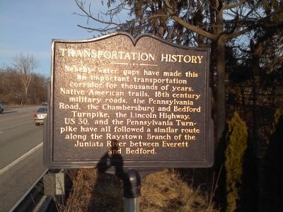
Transportation History
Topics and series. This historical marker is listed in these topic lists: Roads & Vehicles • Waterways & Vessels. In addition, it is included in the Lincoln Highway series list.
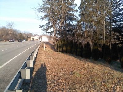
Location. 40° 1.49′ N, 78° 27.305′ W. Marker is near Bedford, Pennsylvania, in Bedford County. It is in Snake Spring Township. Marker is at the intersection of Lincoln Highway (U.S. 30) and Fance Lane, on the right when traveling east on Lincoln Highway. Touch for map. Marker is in this post office area: Bedford PA 15522, United States of America. Touch for directions.
Other nearby markers. At least 8 other markers are within 3 miles of this marker, measured as the crow flies. Rural Electrification (approx. 1.7 miles away); Bedford Village (approx. 2 miles away); Pennsylvania Turnpike (approx. 2 miles away); a different marker also named Pennsylvania Turnpike (approx. 2.1 miles away); Original Turnpike Road Construction (approx. 2.1 miles away); NE Boundary Original Survey of Bedford (approx. 2.3 miles away); Saint Thomas, Apostle (approx. 2.3 miles away); SE Boundary Original Survey of Bedford (approx. 2.3 miles away). Touch for a list and map of all markers in Bedford.
Credits. This page was last revised on February 7, 2023. It was originally submitted on February 15, 2012, by Mike Wintermantel of Pittsburgh, Pennsylvania. This page has been viewed 565 times since then and 13 times this year. Photos: 1, 2. submitted on February 15, 2012, by Mike Wintermantel of Pittsburgh, Pennsylvania.

