Jenners Township near Boswell in Somerset County, Pennsylvania — The American Northeast (Mid-Atlantic)
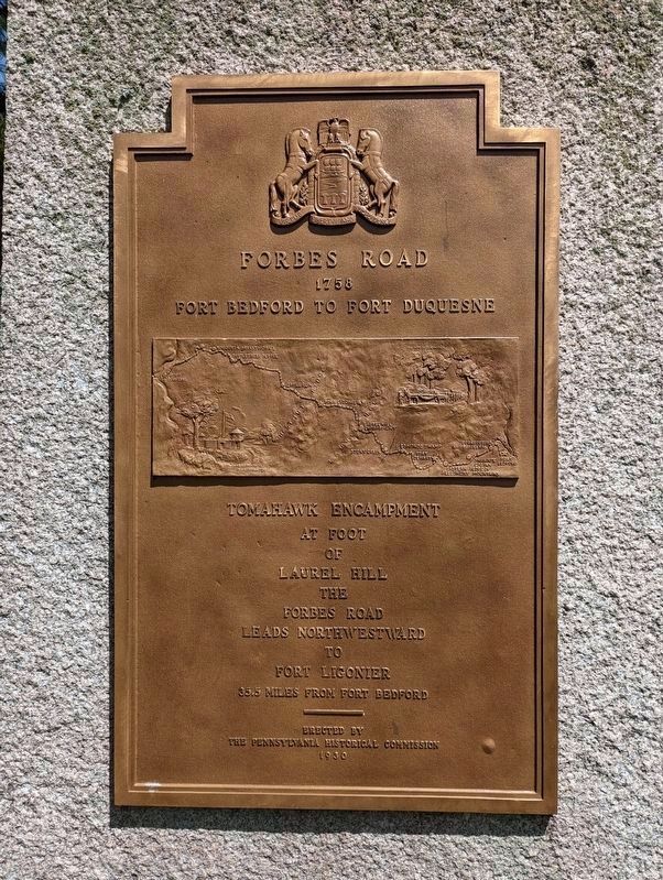
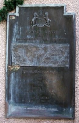
Forbes Road
1758
— Fort Bedford to Fort Duquesne —
Inscription.
At foot
of
Laurel Hill
the
Forbes Road
leads northwestward
to
Fort Ligonier
35.5 miles from Fort Bedford
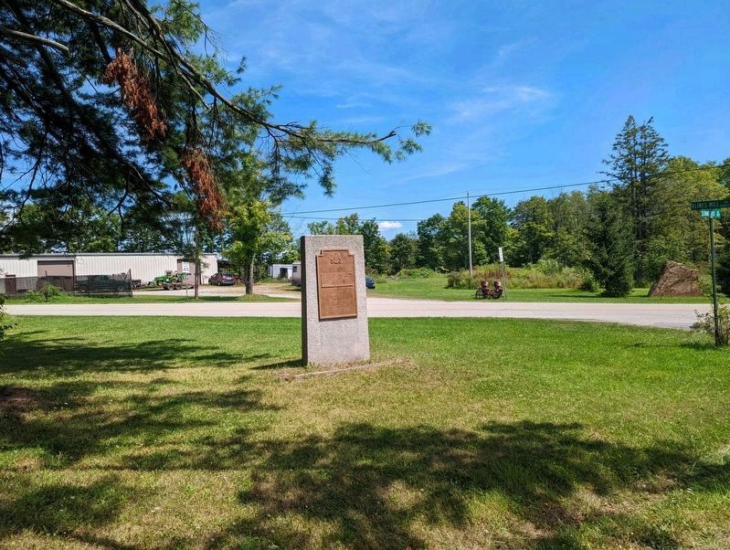
Erected 1930 by Pennsylvania Historical Commission.
Topics and series. This historical marker is listed in these topic lists: Colonial Era • Forts and Castles • Patriots & Patriotism • War, French and Indian. In addition, it is included in the Forbes Road, and the Pennsylvania Historical and Museum Commission series lists.
Location. 40° 10.153′ N, 79° 5.482′ W. Marker is near Boswell, Pennsylvania, in Somerset County. It is in Jenners Township. Marker is at the intersection of Klines Mill Road and Sliding Rock Road, on the left when traveling west on Klines Mill Road. Touch for map. Marker is at or near this postal address: 1986 Klines Mill Rd, Boswell PA 15531, United States of America. Touch for directions.
Other nearby markers. At least 8 other markers are within 7 miles of this marker, measured as the crow flies. A different marker also named Forbes Road (approx. 0.2 miles away); Frederick S. Duesenberg (approx. one mile away); Log Grist Mill (approx. 1.6 miles away); Highway Attractions (approx. 1.7 miles away); Quecreek Mine Accident and Rescue (approx. 6.3 miles away); Walter's Mill Covered Bridge (approx. 6.8 miles away); c.1830s Log Farmstead (approx. 6.8 miles away); Bullet's Defeat (approx. 6.9 miles away).
Also see . . . Forbes Road at Wikipedia. (Submitted on February 16, 2012, by William Fischer, Jr. of Scranton, Pennsylvania.)
Credits. This page was last revised on February 7, 2023. It was originally submitted on February 16, 2012, by William Fischer, Jr. of Scranton, Pennsylvania. This page has been viewed 931 times since then and 29 times this year. Photos: 1. submitted on August 20, 2022, by Mike Wintermantel of Pittsburgh, Pennsylvania. 2, 3, 4. submitted on February 16, 2012, by William Fischer, Jr. of Scranton, Pennsylvania. 5. submitted on August 20, 2022, by Mike Wintermantel of Pittsburgh, Pennsylvania. 6. submitted on February 16, 2012, by William Fischer, Jr. of Scranton, Pennsylvania.
