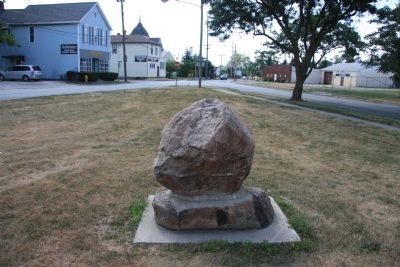
East Side Community in Fort Wayne in Allen County, Indiana — The American Midwest (Great Lakes)
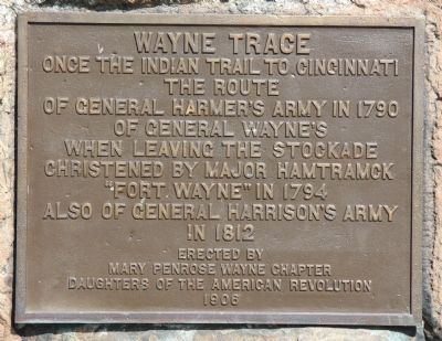
Wayne Trace
Once the Indian trail to Cincinnati
The route
Of General Harmer's Army in 1790
Of General Wayne's
When leaving the stockade
Christened by Major Hamtramck
"Fort Wayne" in 1794
Also of General Harrison's Army
In 1812.
Erected 1906 by Mary Penrose Wayne Chapter, Daughters of the American Revolution.
Topics and series. This historical marker is listed in these topic lists: Forts and Castles • Native Americans • War of 1812 • Wars, US Indian. In addition, it is included in the Daughters of the American Revolution series list. A significant historical year for this entry is 1790.
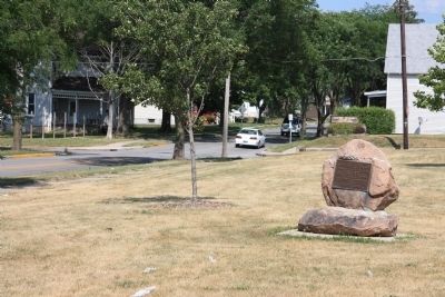
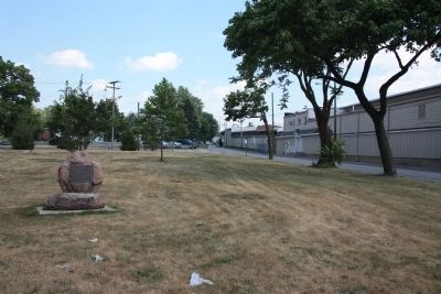
Location. 41° 4.094′ N, 85° 6.5′ W. Marker is in Fort Wayne, Indiana, in Allen County. It is in the East Side Community. Marker is at the intersection of Wayne Trace and New Haven Avenue, on the left when traveling south on Wayne Trace. This historical marker is located in a small, triangular, community park, in a residential neighborhood. The community park is bordered by New Haven Avenue to the north, Warren Street to the east, and Wayne Trace along the park's southwest border. Touch for map. Marker is in this post office area: Fort Wayne IN 46803, United States of America. Touch for directions.
Other nearby markers. At least 8 other markers are within 2 miles of this marker, measured as the crow flies. Olen J. Pond Memorial (approx. half a mile away); Allen County and Fort Wayne W.W. I Memorial (approx. 0.6 miles away); Arthur R. Smith (approx. 0.6 miles away); Operation MP-125 Veterans Memorial (approx. 0.6 miles away); Allen County Veterans Memorial (approx. 0.7 miles away); The Battle of Harmar's Ford (approx. 1.4 miles away); The Battle of Kekionga (approx. 1.4 miles away); Fort Wayne Public High School (approx. 1˝ miles away). Touch for a list and map of all markers in Fort Wayne.
Additional commentary.
1. Original Location
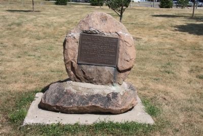
According to the website of the Mary Penrose Wayne Chapter of the Daughters of the American Revolution, the bronze plaque is attached to a rock dredged from the St. Mary's River. The rock and plaque were originally placed closer to the intersection of Wayne Trace and New Haven Avenue, but they were damaged in 1990 and 1993. After the second repair of damage in 1993, the Fort Wayne Board of Park Commissioners moved the rock and plaque further away from the intersection.
— Submitted April 27, 2014, by Duane Hall of Abilene, Texas.
Credits. This page was last revised on February 4, 2023. It was originally submitted on February 17, 2012, by Dale K. Benington of Toledo, Ohio. This page has been viewed 2,185 times since then and 58 times this year. Photos: 1, 2, 3, 4, 5. submitted on February 17, 2012, by Dale K. Benington of Toledo, Ohio.
