Near Fairfax in Fairfax County, Virginia — The American South (Mid-Atlantic)
Manassas Gap Railroad
Independent Line
Photographed by J. J. Prats, September 16, 2006
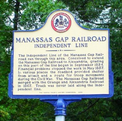
1. Manassas Gap Railroad Independent Line Marker
The Independent Line of the Manassas Gap Railroad ran through this area. Conceived to extend the Manassas Gap Railroad to Alexandria, grading on this part of the line began in September 1854. Financial problems stopped the work in May 1857. In various places the roadbed provided shelter from attack and a route for troop movements during the Civil War. The Manassas Gap Railroad merged with the Orange and Alexandria Railroad in 1867. Track was never laid along the Independent Line.
Erected 2003 by The Fairfax County History Commission.
Topics and series. This historical marker is listed in these topic lists: Railroads & Streetcars • War, US Civil. In addition, it is included in the Manassas Gap Railroad, and the Virginia, Fairfax County History Commission series lists. A significant historical month for this entry is May 1857.
Location. 38° 50.831′ N, 77° 20.295′ W. Marker is near Fairfax, Virginia, in Fairfax County. It can be reached from Shirley Gate Road (Virginia Route 655) south of U.S. 29, on the left when traveling south. Marker is behind the wooden fence that encloses The Cloisters subdivision and can only be
this page online

Regionally, this marker is in the Washington Metropolitan Area and in Northern Virginia. It is also in the American South, specifically in the Upper South, in the Mid-Atlantic, and on the Eastern Seaboard. Globally, it is in the North Atlantic Region, North America, the Western Hemisphere, the Western World, and the Anglosphere. Historically, it finds itself in what was once the territory of the Mississippian Culture, one of the original Thirteen Colonies, one of the Confederate States of America, and the Antebellum South.
Other nearby markers. At least 5 other markers are within 2 miles of this marker, measured as the crow flies: World War II POW Camp Site (approx. 0.4 miles away); Mount Vineyard (approx. 1.1 miles away); Bull Run Battlefields
Photographed by J. J. Prats, September 16, 2006
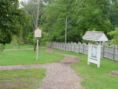
2. View from the Gate in the Fence Along Shirley Gate Road
Other markers no longer nearby. Richard Ratcliffe’s Mount Vineyard Plantation (was approx. 1.1 miles away but has been replaced with another marker now near it); Birthplace of the Confederate Battle Flag (was approx. 1.1 miles away but has been permanently removed).
Also see . . . The Unfinished Manassas Gap Railroad. 2004 article by William Page Johnson II in The Fare Facs Gazette, the newsletter of Historic Fairfax City, Inc. (Submitted on September 16, 2006.)
Photographed by J. J. Prats, September 16, 2006
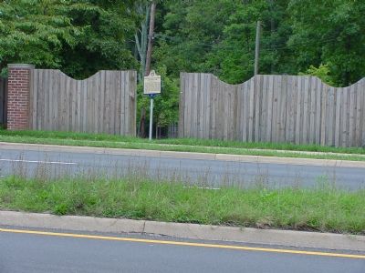
3. Marker from Across Shirley Gate Road
This is why you can't see it from the road unless the gate is open and if you don't blink.
Credits. This page was last revised on February 17, 2024. It was originally submitted on September 16, 2006, by J. J. Prats of Powell, Ohio. This page has been viewed 3,167 times since then and 34 times this year. Photos: 1, 2, 3. submitted on September 16, 2006, by J. J. Prats of Powell, Ohio.
