Near Cordele in Crisp County, Georgia — The American South (South Atlantic)
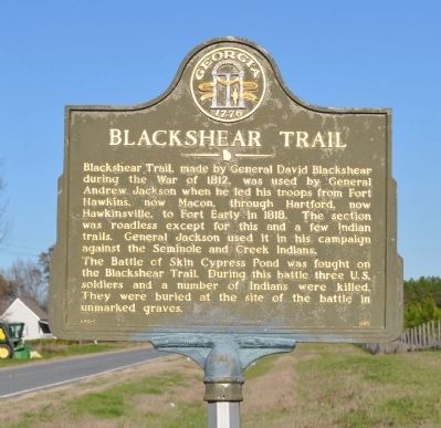
Blackshear Trail
The Battle of Skin Cypress Pond was fought on the Blackshear Trail. During the battle three U.S. soldiers and a number of Indians were killed. They were buried at the site of the battle in unmarked graves.
Erected 1989 by Georgia Department of Natural Resources. (Marker Number 040-1.)
Topics and series. This historical marker is listed in these topic lists: Roads & Vehicles • War of 1812 • Wars, US Indian. In addition, it is included in the Former U.S. Presidents: #07 Andrew Jackson, and the Georgia Historical Society series lists. A significant historical year for this entry is 1812.
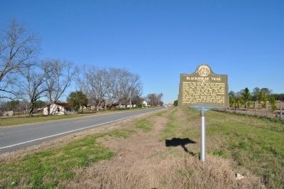
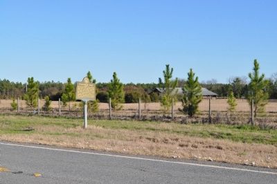
Location. 31° 56.742′ N, 83° 49.128′ W. Marker is near Cordele, Georgia, in Crisp County. Marker is on Old Albany Road (Georgia Route 300) 0.9 miles west of U.S. 280, on the left when traveling west. Touch for map. Marker is in this post office area: Cordele GA 31015, United States of America. Touch for directions.
Other nearby markers. At least 8 other markers are within 3 miles of this marker, measured as the crow flies. Crisp County (approx. 2.6 miles away); Joseph Emerson Brown (approx. 2.7 miles away); Americus, Preston and Lumpkin Railroad (approx. 2.7 miles away); Georgia Southern & Florida Railroad (approx. 2.7 miles away); Union Depot (approx. 2.7 miles away); Atlantic & Birmingham Railway (approx. 2.7 miles away); Capitol of Georgia Site • 1865 (approx. 2.7 miles away); Savannah, Americus & Montgomery Railway (approx. 2.7 miles away). Touch for a list and map of all markers in Cordele.
More about this marker. This marker replaced an earlier marker of the same title and text erected by the Georgia Historical Commission, which had disappeared from this location.
Credits. This page was last revised on June 16, 2016. It was originally submitted on March 4, 2012, by David Seibert of Sandy Springs, Georgia. This page has been viewed 1,175 times since then and 39 times this year. Photos: 1, 2, 3. submitted on March 4, 2012, by David Seibert of Sandy Springs, Georgia. • Craig Swain was the editor who published this page.


